
 La Gila
Barriopedro
Torrejoncillo del Rey
Bardallur
Otura
Corao
Montalbán de Córdoba
La Guardia de Jaén
Mieres del Camino
Salem
Ferreries
Almoines
Verín
Relloso
Mercadal
Guardia
Monserrat
Herencia
Briviesca
La Gila
Barriopedro
Torrejoncillo del Rey
Bardallur
Otura
Corao
Montalbán de Córdoba
La Guardia de Jaén
Mieres del Camino
Salem
Ferreries
Almoines
Verín
Relloso
Mercadal
Guardia
Monserrat
Herencia
Briviesca
Sant Sadurní d'Anoia on the map, Spain
Where is located Sant Sadurní d'Anoia
Exact location — Sant Sadurní d'Anoia, Barcelona, Catalunya, Spain, marked on the map with a red marker.
Coordinates
Sant Sadurní d'Anoia, Spain coordinates in decimal format: latitude — 41.4261755, longitude — 1.7867506. When converted to degrees, minutes, seconds Sant Sadurní d'Anoia has the following coordinates: 41°25′34.23 north latitude and 1°47′12.3 east longitude.
Population
Sant Sadurní d'Anoia, Barcelona, Catalunya, Spain, according to our data the population is — 12,237 residents, which is about 0% of the total population of the country (Spain).
Comparison of the population on the graph:
Exact time
Time zone for this location Sant Sadurní d'Anoia — UTC +2 Europe/Madrid. Exact time — monday, 4 april 2024 year, 09 h. 09 minutes.
Sunrise and sunset
Sant Sadurní d'Anoia, sunrise and sunset data for a date — monday 29.04.2024.
| Sunrise | Sunset | Day (duration) |
|---|---|---|
| 06:55 -1 minute | 20:45 +1 minute | 13 h. 48 minutes. +2 minutes |
You can control the scale of the map using the auxiliary tools to find out exactly where it is located Sant Sadurní d'Anoia. When you change the scale of the map, the width of the ruler also changes (in kilometers and miles).
Nearby cities
The largest cities that are located nearby:
- Terrassa — 24 km
- L'Hospitalet de Llobregat — 28 km
- Sabadell — 30 km
- Santa Coloma de Gramenet — 35 km
- Badalona — 38 km
- Mataró — 56 km
- Tarragona — 57 km
- Lleida — 99 km
- Perpignan
 (France) — 166 km
 - Palma — 218 km
- Zaragoza — 222 km
- Toulouse (France) — 242 km
- Valencia — 284 km
- Montpellier (France) — 294 km
- Pamplona — 318 km
- Nimes (France) — 336 km
- Marseille (France) — 355 km
- Logroño — 364 km
- San Sebastián — 368 km
Distance to neighboring capitals:
- Andorra la Vella
 (Andorra) — 122 km
 - Paris (France) — 828 km
- Paris (France) — 828 km
- Lisbon
 (Portugal) — 977 km
 - Rabat
 (Morocco) — 1124 km
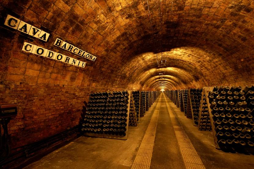
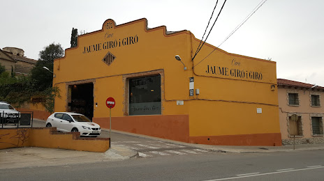
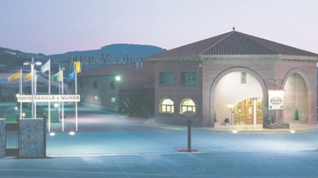
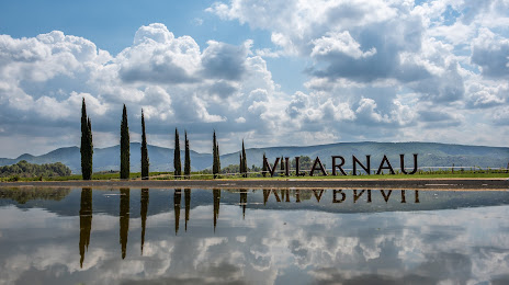
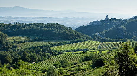
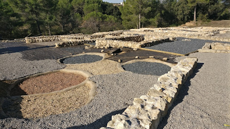
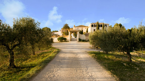
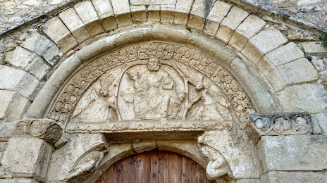
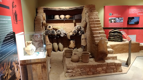
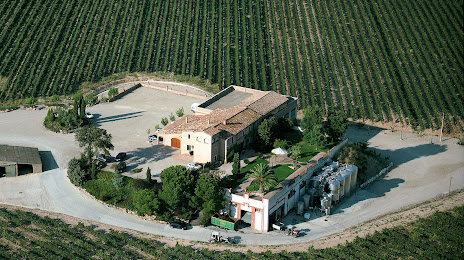
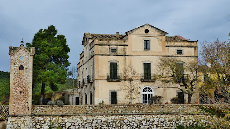
Attractions


Distance to the capital
Distance to the capital (Madrid) is about — 475 km.