
 Hechingen
Bad Bevensen
Langenfeld
Stahl
Villingen
Heusenstamm
Baldham
Bischofsheim
Eglharting
Wangen im Allgäu
Ettlingen
Metzingen
Trebur
Bremerhaven
Beckum
Forst
Blieskastel
Thale
Detmold
Hechingen
Bad Bevensen
Langenfeld
Stahl
Villingen
Heusenstamm
Baldham
Bischofsheim
Eglharting
Wangen im Allgäu
Ettlingen
Metzingen
Trebur
Bremerhaven
Beckum
Forst
Blieskastel
Thale
Detmold
Rosenheim on the map, Germany
Where is located Rosenheim
Exact location — Rosenheim, Upper Bavaria, Bavaria, Germany, marked on the map with a red marker.
Coordinates
Rosenheim, Germany coordinates in decimal format: latitude — 47.8571272, longitude — 12.1181047. When converted to degrees, minutes, seconds Rosenheim has the following coordinates: 47°51′25.66 north latitude and 12°7′5.18 east longitude.
Population
Rosenheim, Upper Bavaria, Bavaria, Germany, according to our data the population is — 60,768 residents, which is about 0.1% of the total population of the country (Germany).
Comparison of the population on the graph:
Exact time
Time zone for this location Rosenheim — UTC +2 Europe/Berlin. Exact time — tuesday, 5 may 2024 year, 17 h. 04 minutes.
Sunrise and sunset
Rosenheim, sunrise and sunset data for a date — tuesday 21.05.2024.
| Sunrise | Sunset | Day (duration) |
|---|---|---|
| 05:29 -1 minute | 20:46 +1 minute | 15 h. 18 minutes. +2 minutes |
You can control the scale of the map using the auxiliary tools to find out exactly where it is located Rosenheim. When you change the scale of the map, the width of the ruler also changes (in kilometers and miles).
Nearby cities
The largest cities that are located nearby:
- Munich — 50 km
- Salzburg
 (Austria) — 70 km
 - Innsbruck (Austria) — 84 km
- Augsburg — 106 km
- Ingolstadt — 112 km
- Regensburg — 128 km
- Linz (Austria) — 167 km
- Ulm — 168 km
- Nuremberg — 192 km
- Fürth — 197 km
- Erlangen — 207 km
- Trento
 (Italy) — 212 km
 - Reutlingen — 225 km
- Pilsen
 (Czech Republic) — 227 km
 - Stuttgart — 237 km
- Heilbronn — 254 km
- Vicenza (Italy) — 260 km
- Würzburg — 264 km
- Graz (Austria) — 265 km
Distance to neighboring capitals:
- Vaduz
 (Liechtenstein) — 211 km
 - Ljubljana
 (Slovenia) — 270 km
 - Prague (Czech Republic) — 299 km
- Vienna (Austria) — 319 km
- Bern
 (Switzerland) — 366 km
 - Brussels
 (Belgium) — 653 km
 - Rome (Italy) — 663 km
- Amsterdam
 (Netherlands) — 719 km
 - Paris
 (France) — 730 km
 - Paris (France) — 730 km
- Warsaw
 (Poland) — 799 km
 - Copenhagen
 (Denmark) — 870 km
 - Minsk
 (Belarus) — 1271 km
 - Stockholm
 (Sweden) — 1329 km
 - Oslo
 (Norway) — 1344 km
 - Kyiv
 (Ukraine) — 1366 km
 - Helsinki
 (Finland) — 1600 km
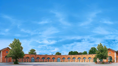
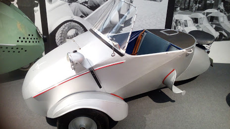
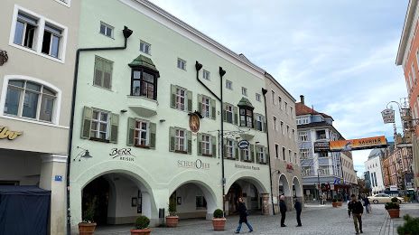
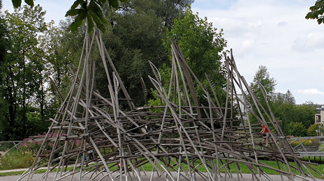
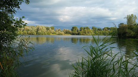
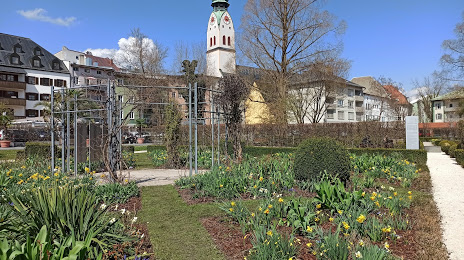
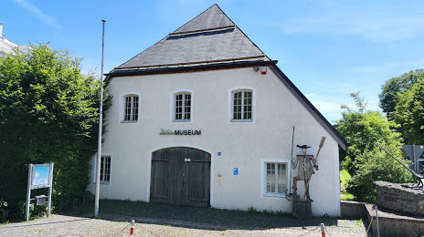
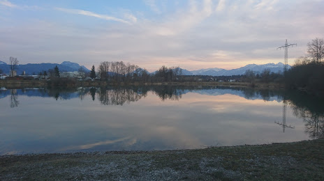
Attractions


Distance to the capital
Distance to the capital (Berlin) is about — 527 km.