
 Gilserberg
Berlin
Bordesholm
Bechtolsheim
Aub
Triptis
Heppenheim
Biblis
Angermünde
Gilserberg
Berlin
Bordesholm
Bechtolsheim
Aub
Triptis
Heppenheim
Biblis
Angermünde
Stadtmuseum Leinfelden-Echterdingen on the map, Leinfelden-Echterdingen, Germany
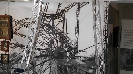
Photo
Where is located Stadtmuseum Leinfelden-Echterdingen
Stadtmuseum Leinfelden-Echterdingen — local attraction, which is located at Hauptstraße 79, 70771 Leinfelden-Echterdingen, Germany and belongs to the category — museum. Average visitor rating for this place — 4.1 (according to 8 ratings, information from open sources and relevant for 2022).
Exact location — Stadtmuseum Leinfelden-Echterdingen, marked on the map with a red marker.
You can get directions to Stadtmuseum Leinfelden-Echterdingen on the map from your location.
What else is interesting in Leinfelden-Echterdingen? You can see all the sights if you go to the city page.
Coordinates
Stadtmuseum Leinfelden-Echterdingen, Germany coordinates in decimal format: latitude — 48.68902152050167, longitude — 9.166744598193286. When converted to degrees, minutes, seconds Stadtmuseum Leinfelden-Echterdingen has the following coordinates: 48°41′20.48 north latitude and 9°10′0.28 east longitude.
Nearby cities
The largest cities that are located nearby:
- Stuttgart — 9 km
- Reutlingen — 22 km
- Pforzheim — 39 km
- Heilbronn — 49 km
- Karlsruhe — 63 km
- Ulm — 70 km
- Heidelberg — 84 km
- Ludwigshafen — 100 km
- Mannheim — 100 km
- Strasbourg
 (France) — 103 km
 - Freiburg — 123 km
- Augsburg — 134 km
- Würzburg — 134 km
- Darmstadt — 134 km
- Zurich
 (Switzerland) — 154 km
 - Mainz — 157 km
- Offenbach — 157 km
- Fürth — 158 km
- Frankfurt — 160 km
Distance to the capital
Distance to the capital (Berlin) is about — 520 km.