
 Gilserberg
Berlin
Bordesholm
Bechtolsheim
Aub
Triptis
Heppenheim
Biblis
Angermünde
Gilserberg
Berlin
Bordesholm
Bechtolsheim
Aub
Triptis
Heppenheim
Biblis
Angermünde
Römerkanal-Wanderweg on the map, Bönen, Germany
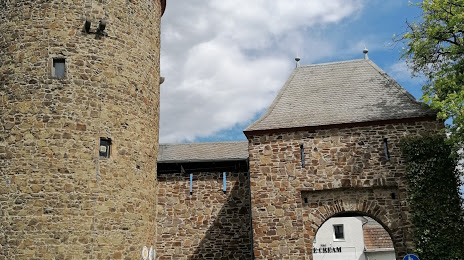
Photo
Where is located Römerkanal-Wanderweg
Römerkanal-Wanderweg — local attraction, which is located at Pützstraße 23, 53359 Rheinbach, Germany and belongs to the category — hiking area. Average visitor rating for this place — 4.6 (according to 14 ratings, information from open sources and relevant for 2022).
Exact location — Römerkanal-Wanderweg, marked on the map with a red marker.
You can get directions to Römerkanal-Wanderweg on the map from your location.
What else is interesting in Bönen? You can see all the sights if you go to the city page.
Coordinates
Römerkanal-Wanderweg, Germany coordinates in decimal format: latitude — 51.592972336772085, longitude — 7.768434047303352. When converted to degrees, minutes, seconds Römerkanal-Wanderweg has the following coordinates: 51°35′34.7 north latitude and 7°46′6.36 east longitude.
Nearby cities
The largest cities that are located nearby:
- Hamm — 9 km
- Dortmund — 22 km
- Hagen — 33 km
- Witten — 33 km
- Recklinghausen — 39 km
- Herne — 39 km
- Bochum — 40 km
- Münster — 41 km
- Gelsenkirchen — 47 km
- Essen — 54 km
- Bottrop — 57 km
- Wuppertal — 57 km
- Remscheid — 61 km
- Oberhausen — 63 km
- Mülheim — 63 km
- Solingen — 67 km
- Paderborn — 70 km
- Duisburg — 71 km
- Bielefeld — 71 km
Distance to the capital
Distance to the capital (Berlin) is about — 399 km.