
 Puerto de la Duquesa
La Serna de Iguña
Pumalverde
Puentenansa
La Iglesia
Casar de Periedo
Fuengirola
Renedo de Piélagos
Villabanez
Puerto de la Duquesa
La Serna de Iguña
Pumalverde
Puentenansa
La Iglesia
Casar de Periedo
Fuengirola
Renedo de Piélagos
Villabanez
Can Palauet on the map, Mataró, Spain
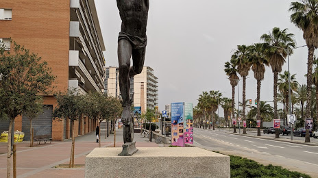
Photo
Where is located Can Palauet
Can Palauet — local attraction, which is located at no data and belongs to the category — -. Average visitor rating for this place — 3.0 (according to 2 ratings, information from open sources and relevant for 2022).
Exact location — Can Palauet, marked on the map with a red marker.
You can get directions to Can Palauet on the map from your location.
What else is interesting in Mataró? You can see all the sights if you go to the city page.
Coordinates
Can Palauet, Spain coordinates in decimal format: latitude — 41.53354922296902, longitude — 2.445339797796856. When converted to degrees, minutes, seconds Can Palauet has the following coordinates: 41°32′0.78 north latitude and 2°26′43.22 east longitude.
Nearby cities
The largest cities that are located nearby:
- Badalona — 19 km
- Santa Coloma de Gramenet — 22 km
- Sabadell — 28 km
- L'Hospitalet de Llobregat — 33 km
- Terrassa — 36 km
- Tarragona — 110 km
- Perpignan
 (France) — 132 km
 - Lleida — 151 km
- Palma — 218 km
- Toulouse (France) — 242 km
- Montpellier (France) — 256 km
- Zaragoza — 276 km
- Nimes (France) — 297 km
- Marseille (France) — 305 km
- Aix-en-Provence (France) — 326 km
- Toulon (France) — 331 km
- Valencia — 332 km
- Pamplona — 360 km
- San Sebastián — 407 km
Distance to the capital
Distance to the capital (Madrid) is about — 531 km.