
 Gilserberg
Berlin
Bordesholm
Bechtolsheim
Aub
Triptis
Heppenheim
Biblis
Angermünde
Gilserberg
Berlin
Bordesholm
Bechtolsheim
Aub
Triptis
Heppenheim
Biblis
Angermünde
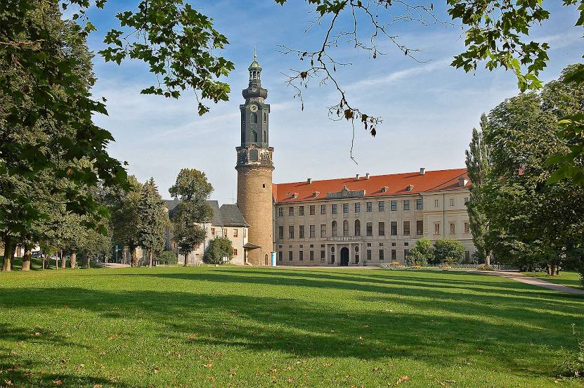
Park an der Ilm on the map, Weimar, Germany
Photo
Where is located Park an der Ilm
Park an der Ilm — local attraction, which is located at Ilmstraße, 99423 Weimar, Germany and belongs to the category — state park. Average visitor rating for this place — 4.7 (according to 3232 ratings, information from open sources and relevant for 2022).
Exact location — Park an der Ilm, marked on the map with a red marker.
You can get directions to Park an der Ilm on the map from your location.
What else is interesting in Weimar? You can see all the sights if you go to the city page.
Coordinates
Park an der Ilm, Germany coordinates in decimal format: latitude — 50.9771943633805, longitude — 11.333578893166045. When converted to degrees, minutes, seconds Park an der Ilm has the following coordinates: 50°58′37.9 north latitude and 11°20′0.88 east longitude.
Nearby cities
The largest cities that are located nearby:
- Erfurt — 20 km
- Gera — 54 km
- Leipzig — 83 km
- Chemnitz — 113 km
- Göttingen — 115 km
- Magdeburg — 128 km
- Kassel — 133 km
- Salzgitter — 146 km
- Brunswick — 152 km
- Erlangen — 155 km
- Hildesheim — 160 km
- Wolfsburg — 164 km
- Würzburg — 164 km
- Fürth — 168 km
- Dresden — 168 km
- Nuremberg — 170 km
- Hanover — 188 km
- Paderborn — 194 km
- Potsdam — 195 km
Distance to the capital
Distance to the capital (Berlin) is about — 223 km.