
 Gilserberg
Berlin
Bordesholm
Bechtolsheim
Aub
Triptis
Heppenheim
Biblis
Angermünde
Gilserberg
Berlin
Bordesholm
Bechtolsheim
Aub
Triptis
Heppenheim
Biblis
Angermünde
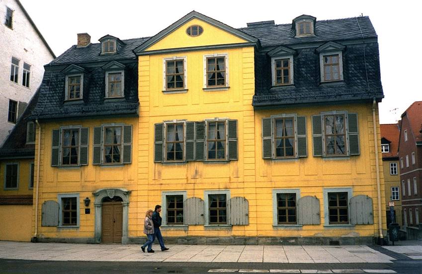
Schiller-Museum on the map, Weimar, Germany
Photo
Where is located Schiller-Museum
Schiller-Museum — local attraction, which is located at Schillerstraße 12, 99423 Weimar, Germany and belongs to the category — museum. Average visitor rating for this place — 4.4 (according to 863 ratings, information from open sources and relevant for 2022).
Exact location — Schiller-Museum, marked on the map with a red marker.
You can get directions to Schiller-Museum on the map from your location.
What else is interesting in Weimar? You can see all the sights if you go to the city page.
Coordinates
Schiller-Museum, Germany coordinates in decimal format: latitude — 50.97909752036139, longitude — 11.327816598275497. When converted to degrees, minutes, seconds Schiller-Museum has the following coordinates: 50°58′44.75 north latitude and 11°19′40.14 east longitude.
Nearby cities
The largest cities that are located nearby:
- Erfurt — 20 km
- Gera — 54 km
- Leipzig — 83 km
- Chemnitz — 113 km
- Göttingen — 115 km
- Magdeburg — 128 km
- Kassel — 133 km
- Salzgitter — 146 km
- Brunswick — 152 km
- Erlangen — 155 km
- Hildesheim — 160 km
- Wolfsburg — 164 km
- Würzburg — 164 km
- Fürth — 168 km
- Dresden — 168 km
- Nuremberg — 170 km
- Hanover — 188 km
- Paderborn — 194 km
- Potsdam — 195 km
Distance to the capital
Distance to the capital (Berlin) is about — 223 km.