
 Gilserberg
Berlin
Bordesholm
Bechtolsheim
Aub
Triptis
Heppenheim
Biblis
Angermünde
Gilserberg
Berlin
Bordesholm
Bechtolsheim
Aub
Triptis
Heppenheim
Biblis
Angermünde
Stiftskirche - Evangelische Kirchengemeinde Herrenberg on the map, Herrenberg, Germany
Photo
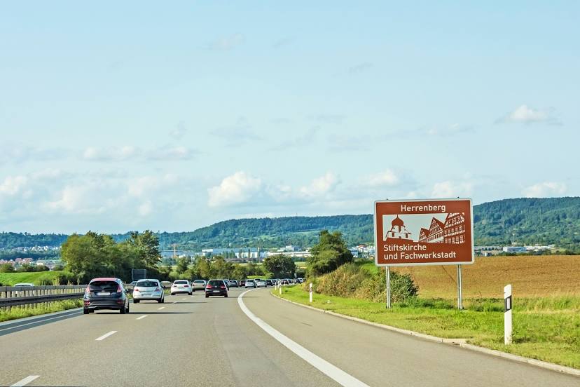
Where is located Stiftskirche - Evangelische Kirchengemeinde Herrenberg
Stiftskirche - Evangelische Kirchengemeinde Herrenberg — local attraction, which is located at Kirchgasse 7, 71083 Herrenberg, Germany and belongs to the category — evangelical church. Average visitor rating for this place — 4.6 (according to 218 ratings, information from open sources and relevant for 2022).
Exact location — Stiftskirche - Evangelische Kirchengemeinde Herrenberg, marked on the map with a red marker.
You can get directions to Stiftskirche - Evangelische Kirchengemeinde Herrenberg on the map from your location.
What else is interesting in Herrenberg? You can see all the sights if you go to the city page.
Coordinates
Stiftskirche - Evangelische Kirchengemeinde Herrenberg, Germany coordinates in decimal format: latitude — 48.59682900151599, longitude — 8.871374698031676. When converted to degrees, minutes, seconds Stiftskirche - Evangelische Kirchengemeinde Herrenberg has the following coordinates: 48°35′48.58 north latitude and 8°52′16.95 east longitude.
Nearby cities
The largest cities that are located nearby:
- Reutlingen — 27 km
- Stuttgart — 30 km
- Pforzheim — 35 km
- Karlsruhe — 57 km
- Heilbronn — 65 km
- Strasbourg
 (France) — 82 km
 - Ulm — 85 km
- Heidelberg — 90 km
- Freiburg — 100 km
- Ludwigshafen — 102 km
- Mannheim — 103 km
- Zurich
 (Switzerland) — 138 km
 - Darmstadt — 142 km
- Mulhouse (France) — 147 km
- Basel (Switzerland) — 148 km
- Augsburg — 151 km
- Saarbrücken — 153 km
- Würzburg — 153 km
- Mainz — 161 km
Distance to the capital
Distance to the capital (Berlin) is about — 541 km.