
 Gilserberg
Berlin
Bordesholm
Bechtolsheim
Aub
Triptis
Heppenheim
Biblis
Angermünde
Gilserberg
Berlin
Bordesholm
Bechtolsheim
Aub
Triptis
Heppenheim
Biblis
Angermünde
Stenzel-Berg on the map, Königswinter, Germany
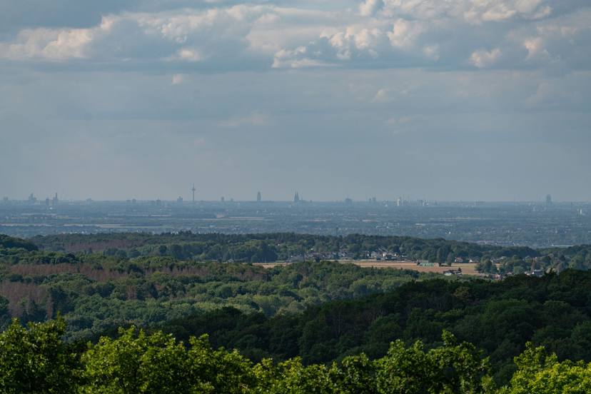
Photo
Where is located Stenzel-Berg
Stenzel-Berg — local attraction, which is located at An den Erlen 1, 53639 Königswinter, Germany and belongs to the category — mountain. Average visitor rating for this place — 4.8 (according to 201 rating, information from open sources and relevant for 2022).
Exact location — Stenzel-Berg, marked on the map with a red marker.
You can get directions to Stenzel-Berg on the map from your location.
What else is interesting in Königswinter? You can see all the sights if you go to the city page.
Coordinates
Stenzel-Berg, Germany coordinates in decimal format: latitude — 50.70243004234984, longitude — 7.270166420215004. When converted to degrees, minutes, seconds Stenzel-Berg has the following coordinates: 50°42′8.75 north latitude and 7°16′12.6 east longitude.
Nearby cities
The largest cities that are located nearby:
- Bonn — 8 km
- Cologne — 31 km
- Bergisch Gladbach — 33 km
- Koblenz — 47 km
- Solingen — 53 km
- Remscheid — 54 km
- Siegen — 62 km
- Wuppertal — 62 km
- Düsseldorf — 66 km
- Neuss — 66 km
- Mönchengladbach — 75 km
- Hagen — 77 km
- Aachen — 78 km
- Krefeld — 83 km
- Mülheim — 83 km
- Witten — 84 km
- Essen — 85 km
- Duisburg — 87 km
- Bochum — 87 km
Distance to the capital
Distance to the capital (Berlin) is about — 469 km.