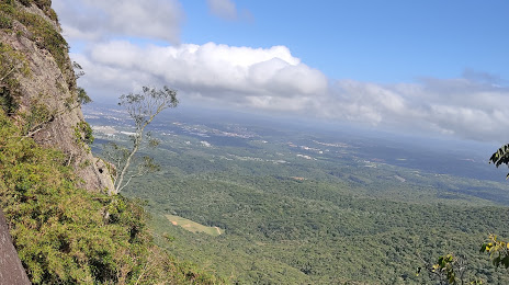
Japira — Lamarão
Japira — Porteirinha
Japira — Poloni
Japira — Sumidouro
Japira — Troncos
Japira — Araranguá
Japira — Arroio dos Ratos
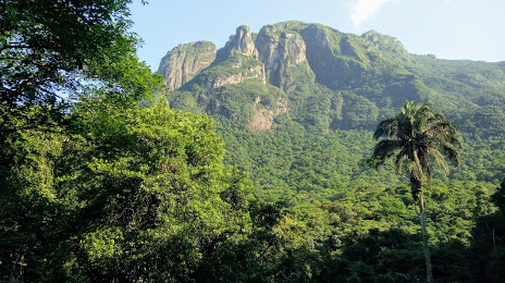
Japira — Buritis
Japira — Nova Serrana
Japira — Guanhães
Japira — Santa Maria
Japira — Sud Mennucci
Japira — Itapetinga
Japira — Rochedo de Minas
Japira — Santa Cruz do Rio Pardo
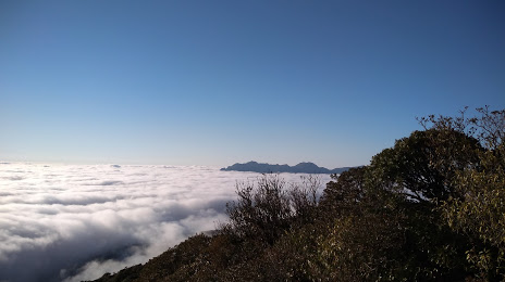
Japira — Diamantina
Japira — Old Mission
Japira — Panelas
Japira — Timóteo
Ventania
Piraí do Sul
Castro
Carambeí
Ponta Grossa
Campo Largo
Campo Magro
Curitiba
Curitiba
Curitiba Airport
Pinhais
Japira — Lamarão
Japira — Porteirinha
Japira — Poloni
Japira — Sumidouro
Japira — Troncos
Japira — Araranguá
Japira — Arroio dos Ratos
Japira — Buritis
Japira — Nova Serrana
Japira — Guanhães
Japira — Santa Maria
Japira — Sud Mennucci
Japira — Itapetinga
Japira — Rochedo de Minas
Japira — Santa Cruz do Rio Pardo
Japira — Diamantina
Japira — Old Mission
Japira — Panelas
Japira — Timóteo
Ventania
Piraí do Sul
Castro
Carambeí
Ponta Grossa
Campo Largo
Campo Magro
Curitiba
Curitiba
Curitiba Airport
Pinhais
Japira — Piraquara distance, route on the map
Distance by car
Distance between Japira, Paraná, Brazil and Piraquara, Paraná, Brazil by car is — km, or miles. To travel this distance by car, you need minute, or h.
Route on the map, driving directions
Car route Japira — Piraquara was created automatically. The road on the map is shown as a blue line. By moving the markers, you can create a new route through the points you need.
Passing cities through which the car route passes: Ibaiti, Ventania, Piraí do Sul, Castro, Carambeí, Ponta Grossa, Campo Largo, Campo Magro, Curitiba, Curitiba, Curitiba Airport, Pinhais.
Distance by plane
If you decide to take a trip Japira Piraquara by plane, then you have to fly the distance — 211 km or 131 miles. It is marked on the map with a gray line (between two points in a straight line).
Flight time
Estimated flight time Japira Piraquara by plane at cruising speed 750 km / h will be — 16 min.
Direction of movement
Brazil, Japira — right-hand traffic. Brazil, Piraquara — right-hand traffic.
Difference in time
Japira and Piraquara are in the same time zone. Between them there is no time difference (UTC -3 America/Sao_Paulo).
Interesting Facts
Information on alternative ways to get to your destination.
The length of this distance is about 0.5% of the total length of the equator.
The percentage of the population is clearly shown in the graph:
Japira — 4,378 (less by 36,784), Piraquara — 41,162 residents.
The cost of travel
Calculate the cost of the trip yourself using the fuel consumption calculator, changing the data in the table.