
 Gilserberg
Berlin
Bordesholm
Bechtolsheim
Aub
Triptis
Heppenheim
Biblis
Angermünde
Gilserberg
Berlin
Bordesholm
Bechtolsheim
Aub
Triptis
Heppenheim
Biblis
Angermünde
Archäologisches Landesmuseum Baden-Württemberg on the map, Rastatt, Germany
Photo
Where is located Archäologisches Landesmuseum Baden-Württemberg
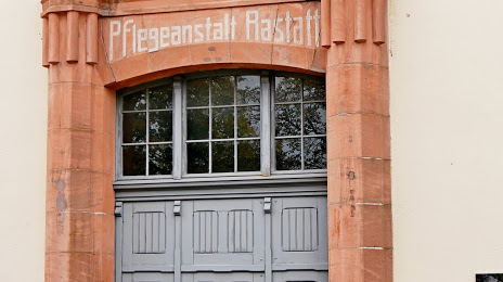
Archäologisches Landesmuseum Baden-Württemberg — local attraction, which is located at Lützowerstraße 10, 76437 Rastatt, Germany and belongs to the category — museum. Average visitor rating for this place — 5.0 (according to 3 ratings, information from open sources and relevant for 2022).
Exact location — Archäologisches Landesmuseum Baden-Württemberg, marked on the map with a red marker.
You can get directions to Archäologisches Landesmuseum Baden-Württemberg on the map from your location.
What else is interesting in Rastatt? You can see all the sights if you go to the city page.
Coordinates
Archäologisches Landesmuseum Baden-Württemberg, Germany coordinates in decimal format: latitude — 48.848644492261876, longitude — 8.209635598198965. When converted to degrees, minutes, seconds Archäologisches Landesmuseum Baden-Württemberg has the following coordinates: 48°50′55.12 north latitude and 8°12′34.69 east longitude.
Nearby cities
The largest cities that are located nearby:
- Karlsruhe — 22 km
- Pforzheim — 36 km
- Strasbourg
 (France) — 46 km
 - Heidelberg — 68 km
- Ludwigshafen — 70 km
- Stuttgart — 72 km
- Mannheim — 72 km
- Heilbronn — 79 km
- Reutlingen — 83 km
- Saarbrücken — 97 km
- Freiburg — 99 km
- Darmstadt — 116 km
- Mainz — 125 km
- Wiesbaden — 135 km
- Mulhouse (France) — 139 km
- Ulm — 140 km
- Frankfurt — 142 km
- Offenbach — 143 km
- Nancy (France) — 149 km
Distance to the capital
Distance to the capital (Berlin) is about — 548 km.