
 Gilserberg
Berlin
Bordesholm
Bechtolsheim
Aub
Triptis
Heppenheim
Biblis
Angermünde
Gilserberg
Berlin
Bordesholm
Bechtolsheim
Aub
Triptis
Heppenheim
Biblis
Angermünde
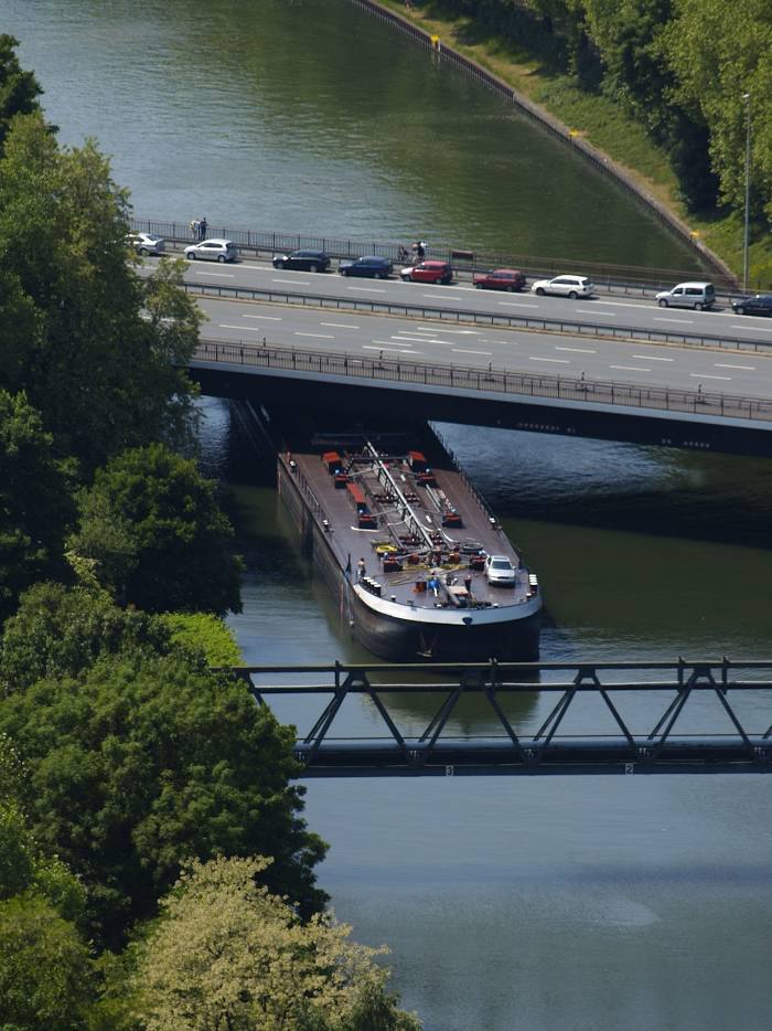
Rhine-Herne Canal on the map, Castrop-Rauxel, Germany
Photo
Where is located Rhine-Herne Canal
Rhine-Herne Canal — local attraction, which is located at 1906 and belongs to the category — -. Average visitor rating for this place — 4.5 (according to 57 ratings, information from open sources and relevant for 2022).
Exact location — Rhine-Herne Canal, marked on the map with a red marker.
You can get directions to Rhine-Herne Canal on the map from your location.
What else is interesting in Castrop-Rauxel? You can see all the sights if you go to the city page.
Coordinates
Rhine-Herne Canal, Germany coordinates in decimal format: latitude — 51.57836764282753, longitude — 7.307150051575194. When converted to degrees, minutes, seconds Rhine-Herne Canal has the following coordinates: 51°34′42.12 north latitude and 7°18′25.74 east longitude.
Nearby cities
The largest cities that are located nearby:
- Herne — 8 km
- Recklinghausen — 10 km
- Bochum — 11 km
- Dortmund — 12 km
- Witten — 13 km
- Gelsenkirchen — 17 km
- Hagen — 24 km
- Essen — 24 km
- Bottrop — 26 km
- Oberhausen — 32 km
- Mülheim — 34 km
- Wuppertal — 36 km
- Hamm — 36 km
- Duisburg — 41 km
- Remscheid — 43 km
- Solingen — 46 km
- Moers — 48 km
- Münster — 49 km
- Düsseldorf — 53 km
Distance to the capital
Distance to the capital (Berlin) is about — 430 km.