
 Józefów nad Wisłą
Gorzyce Wielkie
Rogówek
Sromowce Niżne
Wyszków County
Kruszewo
Jantar
Sady Górne
Nagoszewo
Józefów nad Wisłą
Gorzyce Wielkie
Rogówek
Sromowce Niżne
Wyszków County
Kruszewo
Jantar
Sady Górne
Nagoszewo
Radew on the map, Bialogard, Poland
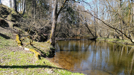
Photo
Where is located Radew
Radew — local attraction, which is located at Poland and belongs to the category — -. Average visitor rating for this place — 4.6 (according to 46 ratings, information from open sources and relevant for 2022).
Exact location — Radew, marked on the map with a red marker.
You can get directions to Radew on the map from your location.
What else is interesting in Bialogard? You can see all the sights if you go to the city page.
Coordinates
Radew, Poland coordinates in decimal format: latitude — 54.00930583316304, longitude — 15.975417441963152. When converted to degrees, minutes, seconds Radew has the following coordinates: 54°0′33.5 north latitude and 15°58′31.5 east longitude.
Nearby cities
The largest cities that are located nearby:
- Koszalin — 24 km
- Szczecin — 114 km
- Gorzów Wielkopolski — 149 km
- Bydgoszcz — 165 km
- Gdynia — 173 km
- Gdańsk — 175 km
- Poznań — 187 km
- Torun — 205 km
- Elblag — 222 km
- Zielona Gora — 231 km
- Berlin
 (Germany) — 239 km
 - Berlin (Germany) — 241 km
- Rostock (Germany) — 253 km
- Wloclawek — 255 km
- Malmö
 (Sweden) — 257 km
 - Potsdam (Germany) — 266 km
- Cottbus (Germany) — 273 km
- Copenhagen
 (Denmark) — 282 km
 - Kalisz — 286 km
Distance to the capital
Distance to the capital (Warsaw) is about — 390 km.