
 Grefrath
Seehausen am Staffelsee
Gauting
Lengerich
Borken
Boden
Babelsberg
Dorsten
Velten
Merseburg
Speyer
Winterbach
Telgte
Bad Hersfeld
Iphofen
Ostfildern
Leingarten
Offenbach
Lorch
Grefrath
Seehausen am Staffelsee
Gauting
Lengerich
Borken
Boden
Babelsberg
Dorsten
Velten
Merseburg
Speyer
Winterbach
Telgte
Bad Hersfeld
Iphofen
Ostfildern
Leingarten
Offenbach
Lorch
Gaggenau on the map, Germany
Where is located Gaggenau
Exact location — Gaggenau, Karlsruhe, Baden-Württemberg, Germany, marked on the map with a red marker.
Coordinates
Gaggenau, Germany coordinates in decimal format: latitude — 48.8035508, longitude — 8.3212584. When converted to degrees, minutes, seconds Gaggenau has the following coordinates: 48°48′12.78 north latitude and 8°19′16.53 east longitude.
Population
Gaggenau, Karlsruhe, Baden-Württemberg, Germany, according to our data the population is — 29,800 residents, which is about 0% of the total population of the country (Germany).
Comparison of the population on the graph:
Exact time
Time zone for this location Gaggenau — UTC +2 Europe/Berlin. Exact time — wednesday, 5 may 2024 year, 17 h. 22 minutes.
Sunrise and sunset
Gaggenau, sunrise and sunset data for a date — wednesday 1.05.2024.
| Sunrise | Sunset | Day (duration) |
|---|---|---|
| 06:09 -1 minute | 20:38 +2 minutes | 14 h. 30 minutes. +3 minutes |
You can control the scale of the map using the auxiliary tools to find out exactly where it is located Gaggenau. When you change the scale of the map, the width of the ruler also changes (in kilometers and miles).
Nearby cities
The largest cities that are located nearby:
- Karlsruhe — 23 km
- Pforzheim — 29 km
- Strasbourg
 (France) — 49 km
 - Stuttgart — 63 km
- Heidelberg — 70 km
- Reutlingen — 72 km
- Heilbronn — 74 km
- Ludwigshafen — 75 km
- Mannheim — 76 km
- Freiburg — 96 km
- Saarbrücken — 107 km
- Darmstadt — 121 km
- Ulm — 130 km
- Mainz — 132 km
- Mulhouse (France) — 138 km
- Wiesbaden — 141 km
- Offenbach — 146 km
- Frankfurt — 147 km
- Basel
 (Switzerland) — 147 km
Distance to neighboring capitals:
- Vaduz
 (Liechtenstein) — 205 km
 - Bern (Switzerland) — 217 km
- Brussels
 (Belgium) — 365 km
 - Paris (France) — 437 km
- Paris (France) — 437 km
- Prague
 (Czech Republic) — 464 km
 - Amsterdam
 (Netherlands) — 465 km
 - Ljubljana
 (Slovenia) — 556 km
 - Vienna
 (Austria) — 597 km
 - Copenhagen
 (Denmark) — 817 km
 - Rome
 (Italy) — 834 km
 - Warsaw
 (Poland) — 973 km
 - Oslo
 (Norway) — 1246 km
 - Stockholm
 (Sweden) — 1323 km
 - Minsk
 (Belarus) — 1446 km
 - Kyiv
 (Ukraine) — 1604 km
 - Helsinki
 (Finland) — 1649 km
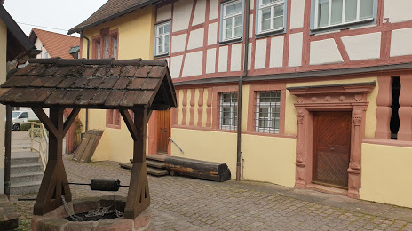
Attractions


Distance to the capital
Distance to the capital (Berlin) is about — 547 km.