
 Salceda de Caselas
Vega de Pas
Villanueva del Arzobispo
Cornellà del Terri
Villarrasa
Ardèvol
Las Cabezas de San Juan
Campino
Navarcles
Almorox
Pedrosillo
Vallbona de les Monges
Valdeaveruelo
Santervás de la Vega
La Frontera
Alcolea de Cinca
Chalamera
Linares de Mora
Villamanrique de la Condesa
Salceda de Caselas
Vega de Pas
Villanueva del Arzobispo
Cornellà del Terri
Villarrasa
Ardèvol
Las Cabezas de San Juan
Campino
Navarcles
Almorox
Pedrosillo
Vallbona de les Monges
Valdeaveruelo
Santervás de la Vega
La Frontera
Alcolea de Cinca
Chalamera
Linares de Mora
Villamanrique de la Condesa
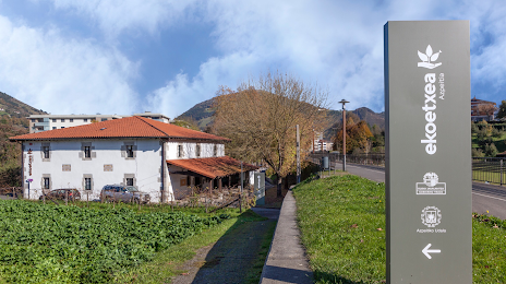
Azkoitia on the map, Spain
Where is located Azkoitia
Exact location — Azkoitia, Gipuzkoa, Basque Country, Spain, marked on the map with a red marker.
Coordinates
Azkoitia, Spain coordinates in decimal format: latitude — 43.1776439, longitude — -2.3109203. When converted to degrees, minutes, seconds Azkoitia has the following coordinates: 43°10′39.52 north latitude and -2°18′39.31 east longitude.
Population
Azkoitia, Gipuzkoa, Basque Country, Spain, according to our data the population is — 11,266 residents, which is about 0% of the total population of the country (Spain).
Comparison of the population on the graph:
Exact time
Time zone for this location Azkoitia — UTC +2 Europe/Madrid. Exact time — sunday, 5 may 2024 year, 07 h. 33 minutes.
Sunrise and sunset
Azkoitia, sunrise and sunset data for a date — sunday 5.05.2024.
| Sunrise | Sunset | Day (duration) |
|---|---|---|
| 06:59 -2 minutes | 21:11 +1 minute | 14 h. 12 minutes. +3 minutes |
You can control the scale of the map using the auxiliary tools to find out exactly where it is located Azkoitia. When you change the scale of the map, the width of the ruler also changes (in kilometers and miles).
Nearby cities
The largest cities that are located nearby:
- San Sebastián — 31 km
- Vitoria-Gasteiz — 46 km
- Bilbao — 51 km
- Pamplona — 67 km
- Logroño — 80 km
- Santander — 124 km
- Burgos — 146 km
- Zaragoza — 206 km
- Bordeaux
 (France) — 228 km
 - Valladolid — 261 km
- Gijón — 271 km
- León — 273 km
- Oviedo — 285 km
- Lleida — 297 km
- Toulouse (France) — 304 km
- Alcala de Henares — 311 km
- Alcobendas — 312 km
- Torrejón de Ardoz — 316 km
- Leganés — 338 km
Distance to neighboring capitals:
- Andorra la Vella
 (Andorra) — 321 km
 - Paris (France) — 727 km
- Paris (France) — 727 km
- Lisbon
 (Portugal) — 758 km
 - Rabat
 (Morocco) — 1097 km
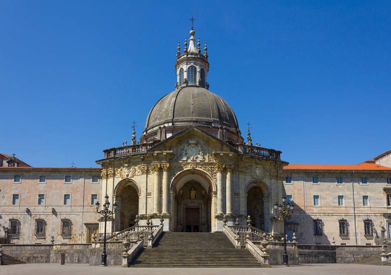
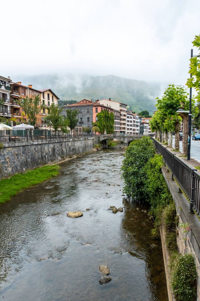
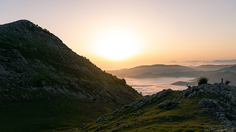
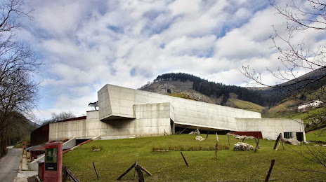
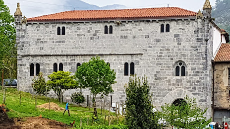
Attractions
Distance to the capital
Distance to the capital (Madrid) is about — 328 km.