
 Maureville
Samoëns
Gréning
Toulouse
Volx
Goudet
Méhoncourt
Saint-Hymer
Pontcarré
Maureville
Samoëns
Gréning
Toulouse
Volx
Goudet
Méhoncourt
Saint-Hymer
Pontcarré
Roadstead of Brest on the map, Plouzané, France
Photo
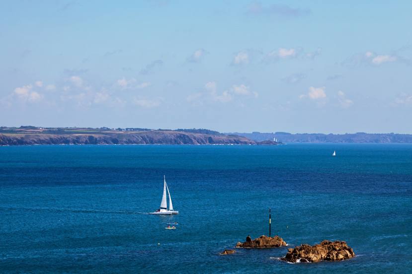
Where is located Roadstead of Brest
Roadstead of Brest — local attraction, which is located at Île Longue, Île de Térénez, Île de Tibidy, Île Ronde, Île d'Arun and belongs to the category — -. Average visitor rating for this place — 4.6 (according to 30 ratings, information from open sources and relevant for 2022).
Exact location — Roadstead of Brest, marked on the map with a red marker.
You can get directions to Roadstead of Brest on the map from your location.
What else is interesting in Plouzané? You can see all the sights if you go to the city page.
Coordinates
Roadstead of Brest, France coordinates in decimal format: latitude — 48.33522804643621, longitude — -4.479722114519063. When converted to degrees, minutes, seconds Roadstead of Brest has the following coordinates: 48°20′6.82 north latitude and -4°28′47 east longitude.
Nearby cities
The largest cities that are located nearby:
- Brest — 10 km
- Rennes — 219 km
- Nantes — 264 km
- Exeter
 (United Kingdom) — 269 km
 - Angers — 319 km
- Caen — 320 km
- Bournemouth (United Kingdom) — 322 km
- Southampton (United Kingdom) — 358 km
- Le Mans — 359 km
- Le Havre — 361 km
- Portsmouth (United Kingdom) — 365 km
- Bristol (Great Britain) — 367 km
- Swindon (United Kingdom) — 402 km
- Tours — 412 km
- Reading (United Kingdom) — 422 km
- Cheltenham (United Kingdom) — 426 km
- Rouen — 428 km
- Crawley (United Kingdom) — 431 km
- Eastbourne (United Kingdom) — 433 km
Distance to the capital
Distance to the capital (Paris) is about — 506 km.