
 Victoria
El Banco
Pradera
Villa Del Rosario
Urrao
Carepa
Gómez Plata
Caicedonia
Restrepo
San Pablo De Borbur
San Pelayo
Giron
Sasaima
Gutierrez
Bugalagrande
San Antonio Del Tequendama
Bituima
Palmira
Pivijay
Victoria
El Banco
Pradera
Villa Del Rosario
Urrao
Carepa
Gómez Plata
Caicedonia
Restrepo
San Pablo De Borbur
San Pelayo
Giron
Sasaima
Gutierrez
Bugalagrande
San Antonio Del Tequendama
Bituima
Palmira
Pivijay
Aracataca on the map, Colombia
Where is located Aracataca
Exact location — Aracataca, Aracataca, Magdalena, Colombia, marked on the map with a red marker.
Coordinates
Aracataca, Colombia coordinates in decimal format: latitude — 10.58923, longitude — -74.18877. When converted to degrees, minutes, seconds Aracataca has the following coordinates: 10°35′21.23 north latitude and -74°11′19.57 east longitude.
Population
Aracataca, Aracataca, Magdalena, Colombia, according to our data the population is — 27,704 residents, which is about 0.1% of the total population of the country (Colombia).
Comparison of the population on the graph:
Exact time
Time zone for this location Aracataca — UTC -5 America/Bogota. Exact time — monday, 4 april 2024 year, 05 h. 15 minutes.
Sunrise and sunset
Aracataca, sunrise and sunset data for a date — monday 29.04.2024.
| Sunrise | Sunset | Day (duration) |
|---|---|---|
| 05:41 -0 minutes | 18:06 -0 minutes | 12 h. 24 minutes. -0 minutes |
You can control the scale of the map using the auxiliary tools to find out exactly where it is located Aracataca. When you change the scale of the map, the width of the ruler also changes (in kilometers and miles).
Nearby cities
The largest cities that are located nearby:
- Malambo — 70 km
- Santa Marta — 72 km
- Soledad — 72 km
- Barranquilla — 78 km
- Valledupar — 103 km
- Cartagena — 148 km
- Magangué — 161 km
- Sincelejo — 194 km
- Maicao — 229 km
- Monteria — 275 km
- Maracaibo
 (Venezuela) — 278 km
 - Cabimas (Venezuela) — 297 km
- Cúcuta — 351 km
- San Cristobal (Venezuela) — 379 km
- Barrancabermeja — 392 km
- Ejido (Venezuela) — 393 km
- Merida (Venezuela) — 398 km
- Bucaramanga — 400 km
- Giron — 405 km
Distance to neighboring capitals:
- Panama
 (Panama) — 611 km
 - Caracas (Venezuela) — 793 km
- San Jose
 (Costa Rica) — 1086 km
 - Quito
 (Ecuador) — 1288 km
 - Georgetown
 (Guyana) — 1811 km
 - Nuestra Señora de La Paz
 (Bolivia) — 3085 km
 - Asuncion
 (Paraguay) — 4375 km
 - Santiago
 (Chile) — 4911 km
 - Buenos Aires
 (Argentina) — 5296 km
 - Montevideo
 (Uruguay) — 5404 km
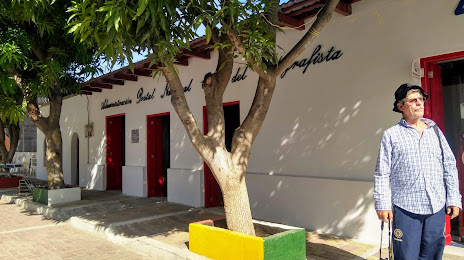
Attractions
Distance to the capital
Distance to the capital (Bogota) is about — 666 km.