Correia Pinto — Marques de Souza
Correia Pinto — State of Acre
Correia Pinto — São Sebastião do Caí
Correia Pinto — Jalisco
Correia Pinto — Mallet
Correia Pinto — Anchieta
Correia Pinto — Km 100
Correia Pinto — Lauro de Freitas
Correia Pinto — Pinhais
Correia Pinto — Congonhas-São Paulo Airport
Correia Pinto — Vicente Dutra
Correia Pinto — São Vicente de Minas
Correia Pinto — Rosana
Correia Pinto — Rosário do Ivaí
Correia Pinto — Bom Amigo
Correia Pinto — Irati
Correia Pinto — Campo Bom
Correia Pinto — Capim Branco
Correia Pinto — Calafate
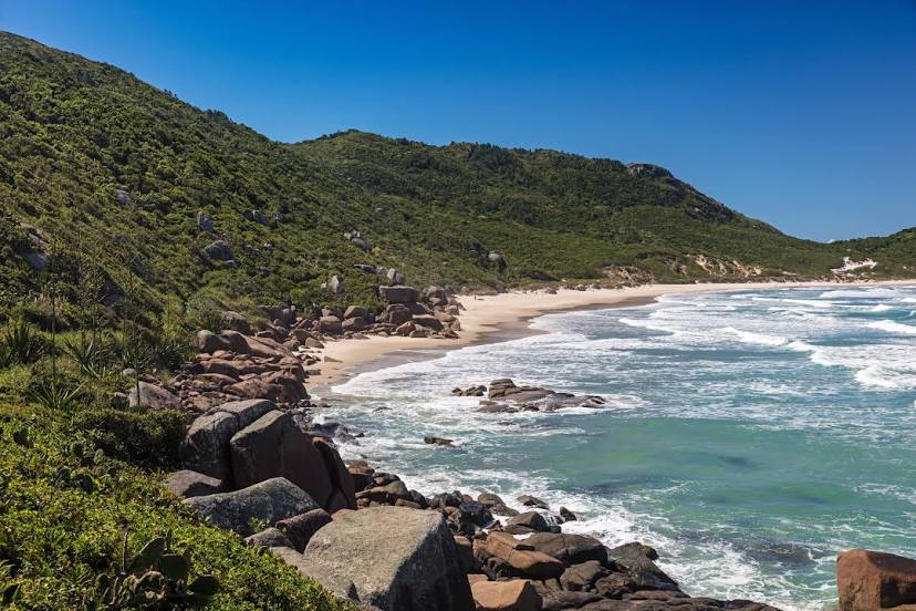
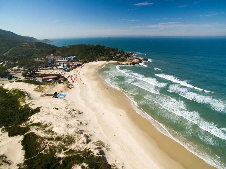
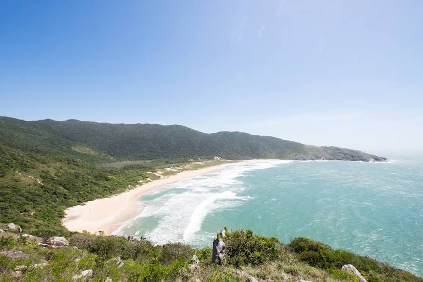
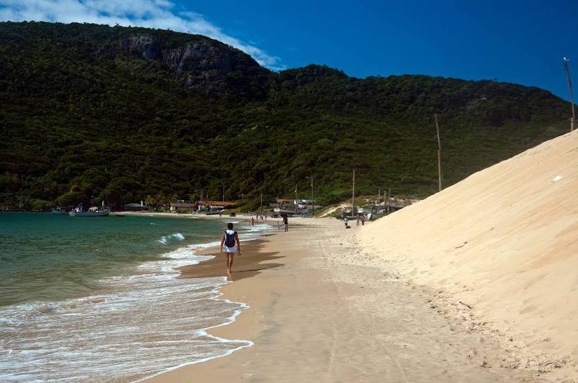
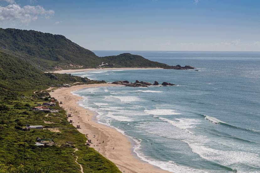
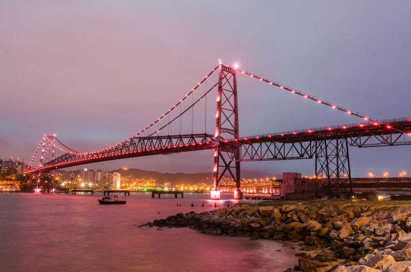
Correia Pinto — Florianópolis distance, route on the map
Distance by car
Distance between Correia Pinto, Santa Catarina, Brazil and Florianópolis, Santa Catarina, Brazil by car is — km, or miles. To travel this distance by car, you need minute, or h.
Route on the map, driving directions
Car route Correia Pinto — Florianópolis was created automatically. The road on the map is shown as a blue line. By moving the markers, you can create a new route through the points you need.
Distance by plane
If you decide to take a trip Correia Pinto Florianópolis by plane, then you have to fly the distance — 179 km or 111 miles. It is marked on the map with a gray line (between two points in a straight line).
Flight time
Estimated flight time Correia Pinto Florianópolis by plane at cruising speed 750 km / h will be — 14 min.
Direction of movement
Brazil, Correia Pinto — right-hand traffic. Brazil, Florianópolis — right-hand traffic.
Difference in time
Correia Pinto and Florianópolis are in the same time zone. Between them there is no time difference (UTC -3 America/Sao_Paulo).
Interesting Facts
Information on alternative ways to get to your destination.
The length of this distance is about 0.4% of the total length of the equator.
The percentage of the population is clearly shown in the graph:
Correia Pinto — 13,752 (less by 398,972), Florianópolis — 412,724 residents.
The cost of travel
Calculate the cost of the trip yourself using the fuel consumption calculator, changing the data in the table.