
 Gilserberg
Berlin
Bordesholm
Bechtolsheim
Aub
Triptis
Heppenheim
Biblis
Angermünde
Gilserberg
Berlin
Bordesholm
Bechtolsheim
Aub
Triptis
Heppenheim
Biblis
Angermünde
Dedinger-Heide-See on the map, Paderborn, Germany
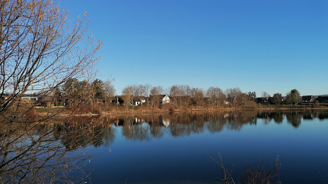
Photo
Where is located Dedinger-Heide-See
Dedinger-Heide-See — local attraction, which is located at no data and belongs to the category — -. Average visitor rating for this place — 4.6 (according to 43 ratings, information from open sources and relevant for 2022).
Exact location — Dedinger-Heide-See, marked on the map with a red marker.
You can get directions to Dedinger-Heide-See on the map from your location.
What else is interesting in Paderborn? You can see all the sights if you go to the city page.
Coordinates
Dedinger-Heide-See, Germany coordinates in decimal format: latitude — 51.79405036632562, longitude — 8.836797109769881. When converted to degrees, minutes, seconds Dedinger-Heide-See has the following coordinates: 51°47′38.58 north latitude and 8°50′12.47 east longitude.
Nearby cities
The largest cities that are located nearby:
- Bielefeld — 38 km
- Hamm — 65 km
- Kassel — 67 km
- Osnabrück — 78 km
- Münster — 82 km
- Göttingen — 82 km
- Dortmund — 92 km
- Hildesheim — 95 km
- Hagen — 97 km
- Hanover — 98 km
- Witten — 101 km
- Siegen — 106 km
- Recklinghausen — 108 km
- Herne — 109 km
- Bochum — 109 km
- Salzgitter — 117 km
- Gelsenkirchen — 117 km
- Wuppertal — 122 km
- Essen — 124 km
Distance to the capital
Distance to the capital (Berlin) is about — 322 km.