
 Gilserberg
Berlin
Bordesholm
Bechtolsheim
Aub
Triptis
Heppenheim
Biblis
Angermünde
Gilserberg
Berlin
Bordesholm
Bechtolsheim
Aub
Triptis
Heppenheim
Biblis
Angermünde
Stapflehus on the map, Lörrach, Germany
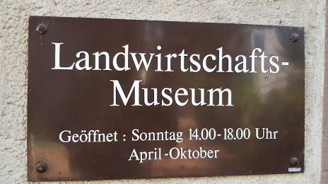
Photo
Where is located Stapflehus
Stapflehus — local attraction, which is located at Bläsiring 10, 79576 Weil am Rhein, Germany and belongs to the category — art gallery. Average visitor rating for this place — 4.5 (according to 4 ratings, information from open sources and relevant for 2022).
Exact location — Stapflehus, marked on the map with a red marker.
You can get directions to Stapflehus on the map from your location.
What else is interesting in Lörrach? You can see all the sights if you go to the city page.
Coordinates
Stapflehus, Germany coordinates in decimal format: latitude — 47.59424527387696, longitude — 7.632501759619407. When converted to degrees, minutes, seconds Stapflehus has the following coordinates: 47°35′39.28 north latitude and 7°37′57.01 east longitude.
Nearby cities
The largest cities that are located nearby:
- Basel
 (Switzerland) — 8 km
 - Mulhouse
 (France) — 29 km
 - Freiburg — 44 km
- Zurich (Switzerland) — 71 km
- Bern (Switzerland) — 76 km
- Strasbourg (France) — 106 km
- Besançon (France) — 131 km
- Lausanne (Switzerland) — 145 km
- Reutlingen — 149 km
- Pforzheim — 159 km
- Nancy (France) — 161 km
- Karlsruhe — 163 km
- Stuttgart — 169 km
- Saarbrücken — 186 km
- Ulm — 191 km
- Geneva (Switzerland) — 196 km
- Metz (France) — 198 km
- Dijon (France) — 200 km
- Heilbronn — 202 km
Distance to the capital
Distance to the capital (Berlin) is about — 685 km.