
 Gilserberg
Berlin
Bordesholm
Bechtolsheim
Aub
Triptis
Heppenheim
Biblis
Angermünde
Gilserberg
Berlin
Bordesholm
Bechtolsheim
Aub
Triptis
Heppenheim
Biblis
Angermünde
Kühkopf-Knoblochsaue on the map, Trebur, Germany
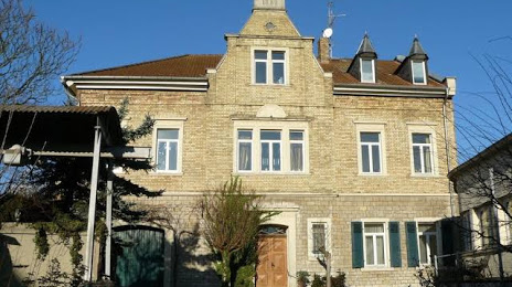
Photo
Where is located Kühkopf-Knoblochsaue
Kühkopf-Knoblochsaue — local attraction, which is located at no data and belongs to the category — -. Average visitor rating for this place — 4.3 (according to 16 ratings, information from open sources and relevant for 2022).
Exact location — Kühkopf-Knoblochsaue, marked on the map with a red marker.
You can get directions to Kühkopf-Knoblochsaue on the map from your location.
What else is interesting in Trebur? You can see all the sights if you go to the city page.
Coordinates
Kühkopf-Knoblochsaue, Germany coordinates in decimal format: latitude — 49.85067752441923, longitude — 8.353575559699104. When converted to degrees, minutes, seconds Kühkopf-Knoblochsaue has the following coordinates: 49°51′2.44 north latitude and 8°21′12.87 east longitude.
Nearby cities
The largest cities that are located nearby:
- Mainz — 13 km
- Darmstadt — 18 km
- Wiesbaden — 20 km
- Frankfurt — 28 km
- Offenbach — 32 km
- Mannheim — 49 km
- Ludwigshafen — 50 km
- Heidelberg — 61 km
- Koblenz — 75 km
- Karlsruhe — 102 km
- Heilbronn — 104 km
- Siegen — 109 km
- Würzburg — 111 km
- Pforzheim — 116 km
- Saarbrücken — 127 km
- Trier — 128 km
- Bonn — 128 km
- Stuttgart — 139 km
- Bergisch Gladbach — 148 km
Distance to the capital
Distance to the capital (Berlin) is about — 460 km.