
 Gilserberg
Berlin
Bordesholm
Bechtolsheim
Aub
Triptis
Heppenheim
Biblis
Angermünde
Gilserberg
Berlin
Bordesholm
Bechtolsheim
Aub
Triptis
Heppenheim
Biblis
Angermünde
Este on the map, Tostedt, Germany
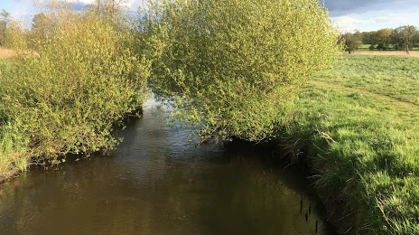
Photo
Where is located Este
Este — local attraction, which is located at 64 km and belongs to the category — -. Average visitor rating for this place — 4.4 (according to 43 ratings, information from open sources and relevant for 2022).
Exact location — Este, marked on the map with a red marker.
You can get directions to Este on the map from your location.
What else is interesting in Tostedt? You can see all the sights if you go to the city page.
Coordinates
Este, Germany coordinates in decimal format: latitude — 53.26504146411947, longitude — 9.751255821520488. When converted to degrees, minutes, seconds Este has the following coordinates: 53°15′54.15 north latitude and 9°45′4.52 east longitude.
Nearby cities
The largest cities that are located nearby:
- Bremen — 65 km
- Bremerhaven — 80 km
- Hanover — 100 km
- Kiel — 118 km
- Wolfsburg — 119 km
- Brunswick — 124 km
- Hildesheim — 125 km
- Salzgitter — 131 km
- Osnabrück — 158 km
- Bielefeld — 160 km
- Rostock — 178 km
- Magdeburg — 182 km
- Paderborn — 185 km
- Göttingen — 192 km
- Emmen
 (Netherlands) — 197 km
 - Münster — 204 km
- Groningen (Netherlands) — 209 km
- Kassel — 218 km
- Hamm — 220 km
Distance to the capital
Distance to the capital (Berlin) is about — 259 km.