
 Gilserberg
Berlin
Bordesholm
Bechtolsheim
Aub
Triptis
Heppenheim
Biblis
Angermünde
Gilserberg
Berlin
Bordesholm
Bechtolsheim
Aub
Triptis
Heppenheim
Biblis
Angermünde
Milchradweg Hünxe-Schermbeck on the map, Bottrop, Germany
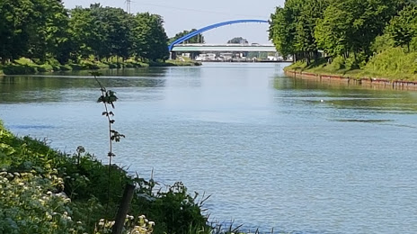
Photo
Where is located Milchradweg Hünxe-Schermbeck
Milchradweg Hünxe-Schermbeck — local attraction, which is located at Gahlener Str. 102, 46569 Hünxe, Germany and belongs to the category — museum. Average visitor rating for this place — 4.3 (according to 3 ratings, information from open sources and relevant for 2022).
Exact location — Milchradweg Hünxe-Schermbeck, marked on the map with a red marker.
You can get directions to Milchradweg Hünxe-Schermbeck on the map from your location.
What else is interesting in Bottrop? You can see all the sights if you go to the city page.
Coordinates
Milchradweg Hünxe-Schermbeck, Germany coordinates in decimal format: latitude — 51.64918914042125, longitude — 6.787487459764546. When converted to degrees, minutes, seconds Milchradweg Hünxe-Schermbeck has the following coordinates: 51°38′57.08 north latitude and 6°47′14.95 east longitude.
Nearby cities
The largest cities that are located nearby:
- Oberhausen — 7 km
- Essen — 9 km
- Gelsenkirchen — 10 km
- Mülheim — 13 km
- Duisburg — 16 km
- Herne — 18 km
- Bochum — 19 km
- Recklinghausen — 20 km
- Moers — 23 km
- Witten — 30 km
- Krefeld — 33 km
- Wuppertal — 33 km
- Düsseldorf — 35 km
- Dortmund — 36 km
- Hagen — 40 km
- Neuss — 40 km
- Solingen — 41 km
- Remscheid — 42 km
- Mönchengladbach — 52 km
Distance to the capital
Distance to the capital (Berlin) is about — 462 km.