
 Cortegana
San Juan del Puerto
Arkaia
Cantimpalos
Belicena
Valdelinares
Torreiglesias
Sax
Pilar de la Horadada
Jun
Sant Carles de la Ràpita
Dalías
Montesa
Castejón de Sos
Basardilla
Parcent
El Provencio
Zarzalejo
Estivella
Cortegana
San Juan del Puerto
Arkaia
Cantimpalos
Belicena
Valdelinares
Torreiglesias
Sax
Pilar de la Horadada
Jun
Sant Carles de la Ràpita
Dalías
Montesa
Castejón de Sos
Basardilla
Parcent
El Provencio
Zarzalejo
Estivella
Sant Joan Despí on the map, Spain
Where is located Sant Joan Despí
Exact location — Sant Joan Despí, Barcelona, Catalunya, Spain, marked on the map with a red marker.
Coordinates
Sant Joan Despí, Spain coordinates in decimal format: latitude — 41.3673523, longitude — 2.0566806. When converted to degrees, minutes, seconds Sant Joan Despí has the following coordinates: 41°22′2.47 north latitude and 2°3′24.05 east longitude.
Population
Sant Joan Despí, Barcelona, Catalunya, Spain, according to our data the population is — 32,030 residents, which is about 0.1% of the total population of the country (Spain).
Comparison of the population on the graph:
Exact time
Time zone for this location Sant Joan Despí — UTC +2 Europe/Madrid. Exact time — wednesday, 5 may 2024 year, 12 h. 17 minutes.
Sunrise and sunset
Sant Joan Despí, sunrise and sunset data for a date — wednesday 15.05.2024.
| Sunrise | Sunset | Day (duration) |
|---|---|---|
| 06:35 -1 minute | 21:00 +1 minute | 14 h. 24 minutes. +2 minutes |
You can control the scale of the map using the auxiliary tools to find out exactly where it is located Sant Joan Despí. When you change the scale of the map, the width of the ruler also changes (in kilometers and miles).
Nearby cities
The largest cities that are located nearby:
- L'Hospitalet de Llobregat — 5 km
- Santa Coloma de Gramenet — 15 km
- Badalona — 18 km
- Sabadell — 20 km
- Terrassa — 22 km
- Mataró — 37 km
- Tarragona — 73 km
- Lleida — 122 km
- Perpignan
 (France) — 161 km
 - Palma — 205 km
- Zaragoza — 245 km
- Toulouse (France) — 252 km
- Montpellier (France) — 288 km
- Valencia — 295 km
- Nimes (France) — 329 km
- Pamplona — 340 km
- Marseille (France) — 341 km
- Aix-en-Provence (France) — 362 km
- Toulon (France) — 368 km
Distance to neighboring capitals:
- Andorra la Vella
 (Andorra) — 134 km
 - Paris (France) — 833 km
- Paris (France) — 833 km
- Lisbon
 (Portugal) — 997 km
 - Rabat
 (Morocco) — 1135 km
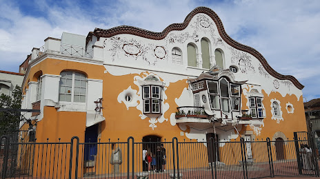
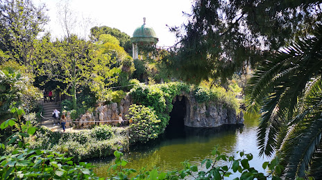
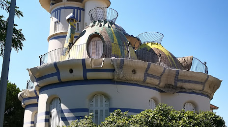
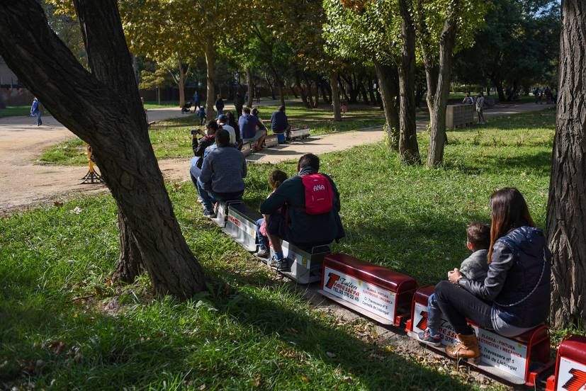
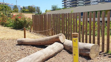
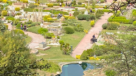
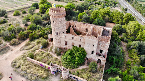
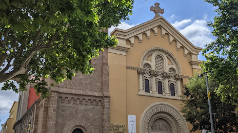
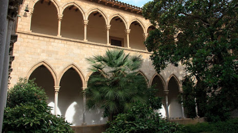
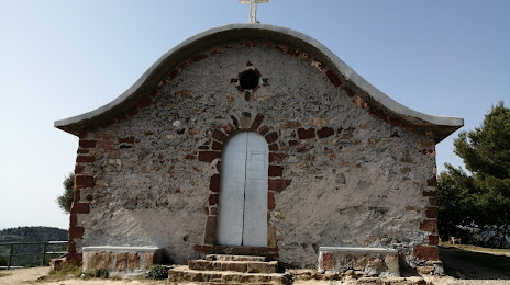
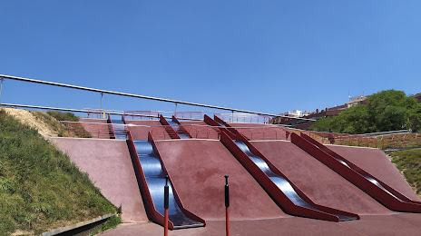
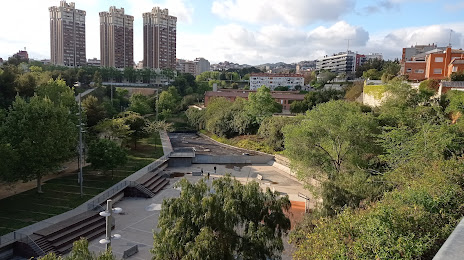
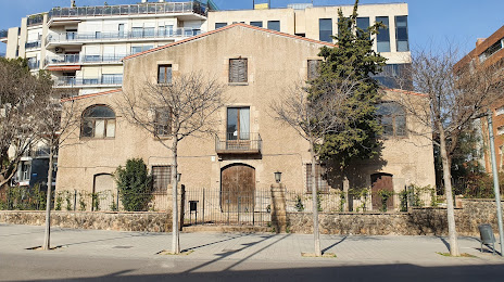
Attractions


Distance to the capital
Distance to the capital (Madrid) is about — 496 km.