Villa Guerrero — Amayuca
Villa Guerrero — Palomares
Villa Guerrero — Tamuín
Villa Guerrero — Poncitlán
Villa Guerrero — Moctezuma
Villa Guerrero — Villa las Nieves
Villa Guerrero — San Gregorio
Villa Guerrero — Tapanalá
Villa Guerrero — Cuquío
Villa Guerrero — Sauz
Villa Guerrero — Tepetzintla
Villa Guerrero — Mexico City
Villa Guerrero — Pedernales
Villa Guerrero — Juan Rodríguez Clara
Villa Guerrero — Jonacatepec
Villa Guerrero — Ahuazotepec
Villa Guerrero — Tambaca
Villa Guerrero — Chilapa de Álvarez
Villa Guerrero — Costa Rica
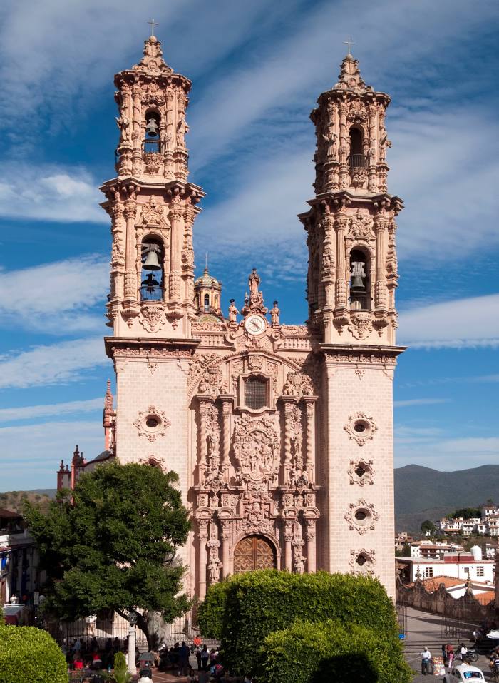
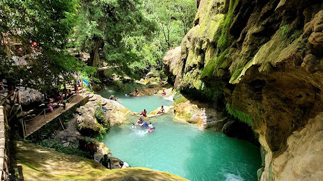
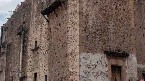
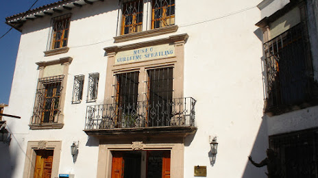
Villa Guerrero — Taxco distance, route on the map
Distance by car
Distance between Villa Guerrero, State of Mexico, Mexico and Taxco, Guerrero, Mexico by car is — km, or miles. To travel this distance by car, you need minute, or h.
Route on the map, driving directions
Car route Villa Guerrero — Taxco was created automatically. The road on the map is shown as a blue line. By moving the markers, you can create a new route through the points you need.
Passing cities through which the car route passes: Zacango, Ixtapan de la Sal, Tonatico, La Vega, Cacahuamilpa.
Distance by plane
If you decide to take a trip Villa Guerrero Taxco by plane, then you have to fly the distance — 45 km or 28 miles. It is marked on the map with a gray line (between two points in a straight line).
Flight time
Estimated flight time Villa Guerrero Taxco by plane at cruising speed 750 km / h will be — 3 min.
Direction of movement
Mexico, Villa Guerrero — right-hand traffic. Mexico, Taxco — right-hand traffic.
Difference in time
Villa Guerrero and Taxco are in the same time zone. Between them there is no time difference (UTC -6 America/Mexico_City).
Interesting Facts
Information on alternative ways to get to your destination.
The length of this distance is about 0.1% of the total length of the equator.
The percentage of the population is clearly shown in the graph:
Villa Guerrero — 9,267 (less by 43,952), Taxco — 53,219 residents.
The cost of travel
Calculate the cost of the trip yourself using the fuel consumption calculator, changing the data in the table.