Piracaia — Saubara
Piracaia — Palotina
Piracaia — General Salgado
Piracaia — Poá
Piracaia — Gramados
Piracaia — Flores
Piracaia — São José de Ribamar
Piracaia — Itapira
Piracaia — Jaguarão
Piracaia — Ibiporã
Piracaia — Fortim
Piracaia — Pedralva
Piracaia — Sengés
Piracaia — Águas Claras
Piracaia — Santos
Piracaia — Carquêja
Piracaia — Iguaba Grande
Piracaia — Cordeiro
Piracaia — Pedreira
Nazaré Paulista
Igaratá
Jacareí
São José dos Campos
Aeroporto Internacional de São José dos Campos - Professor Urbano Ernesto
Caçapava
Caçapava
Taubaté
Tremembé
Pindamonhangaba
Roseira
Aparecida
Guaratinguetá
Lorena
Canas
Cachoeira Paulista
Cruzeiro
Lavrinhas
Queluz
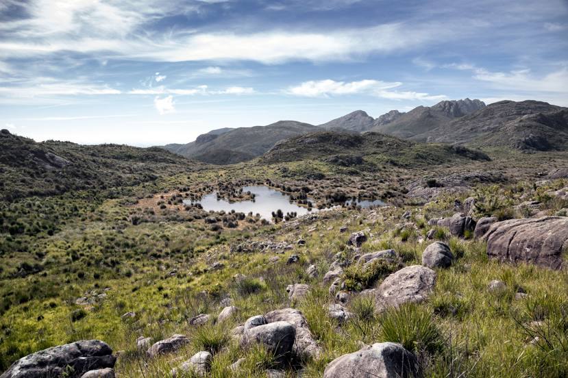
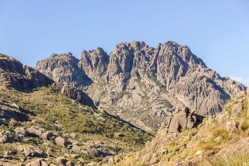
Piracaia — Itatiaia distance, route on the map
Distance by car
Distance between Piracaia, São Paulo, Brazil and Itatiaia, Rio de Janeiro, Brazil by car is — km, or miles. To travel this distance by car, you need minute, or h.
Route on the map, driving directions
Car route Piracaia — Itatiaia was created automatically. The road on the map is shown as a blue line. By moving the markers, you can create a new route through the points you need.
Passing cities through which the car route passes: Bom Jesus dos Perdões, Nazaré Paulista, Igaratá, Jacareí, São José dos Campos, Aeroporto Internacional de São José dos Campos - Professor Urbano Ernesto, Caçapava, Caçapava, Taubaté, Tremembé, Pindamonhangaba, Roseira, Aparecida, Guaratinguetá, Lorena, Canas, Cachoeira Paulista, Cruzeiro, Lavrinhas, Queluz.
Distance by plane
If you decide to take a trip Piracaia Itatiaia by plane, then you have to fly the distance — 194 km or 120 miles. It is marked on the map with a gray line (between two points in a straight line).
Flight time
Estimated flight time Piracaia Itatiaia by plane at cruising speed 750 km / h will be — 15 min.
Direction of movement
Brazil, Piracaia — right-hand traffic. Brazil, Itatiaia — right-hand traffic.
Difference in time
Piracaia and Itatiaia are in the same time zone. Between them there is no time difference (UTC -3 America/Sao_Paulo).
Interesting Facts
Information on alternative ways to get to your destination.
The length of this distance is about 0.5% of the total length of the equator.
The percentage of the population is clearly shown in the graph:
Piracaia — 26,076, Itatiaia — 12,571 residents (less by 13,505).
The cost of travel
Calculate the cost of the trip yourself using the fuel consumption calculator, changing the data in the table.