
 Gilserberg
Berlin
Bordesholm
Bechtolsheim
Aub
Triptis
Heppenheim
Biblis
Angermünde
Gilserberg
Berlin
Bordesholm
Bechtolsheim
Aub
Triptis
Heppenheim
Biblis
Angermünde
Bocksberg on the map, Clausthal-Zellerfeld, Germany
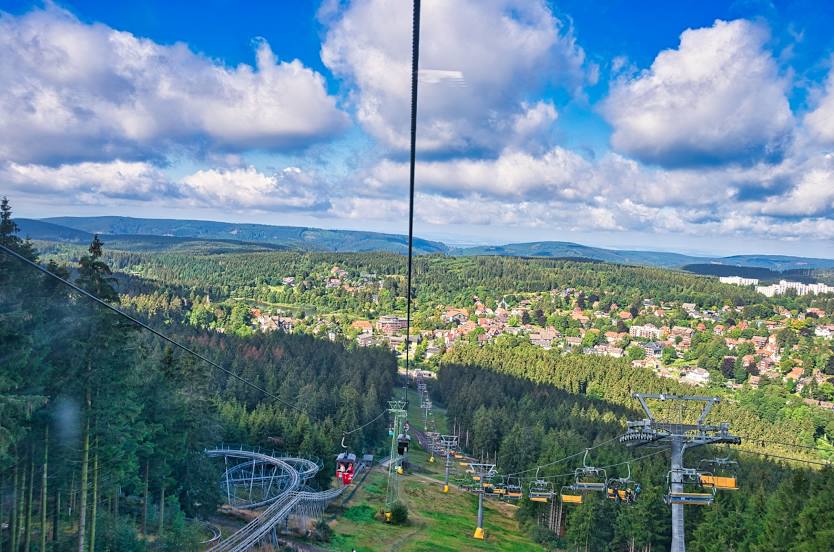
Photo
Where is located Bocksberg
Bocksberg — local attraction, which is located at 726 m and belongs to the category — -. Average visitor rating for this place — 4.6 (according to 132 ratings, information from open sources and relevant for 2022).
Exact location — Bocksberg, marked on the map with a red marker.
You can get directions to Bocksberg on the map from your location.
What else is interesting in Clausthal-Zellerfeld? You can see all the sights if you go to the city page.
Coordinates
Bocksberg, Germany coordinates in decimal format: latitude — 51.83323874956266, longitude — 10.349411108197074. When converted to degrees, minutes, seconds Bocksberg has the following coordinates: 51°49′59.66 north latitude and 10°20′57.88 east longitude.
Nearby cities
The largest cities that are located nearby:
- Salzgitter — 38 km
- Göttingen — 42 km
- Hildesheim — 46 km
- Brunswick — 52 km
- Wolfsburg — 74 km
- Hanover — 75 km
- Kassel — 81 km
- Magdeburg — 94 km
- Erfurt — 103 km
- Paderborn — 109 km
- Bielefeld — 125 km
- Leipzig — 150 km
- Gera — 159 km
- Osnabrück — 164 km
- Hamm — 174 km
- Bremen — 174 km
- Münster — 186 km
- Siegen — 191 km
- Potsdam — 195 km
Distance to the capital
Distance to the capital (Berlin) is about — 222 km.