Felipe Guerra — Curral de Dentro
Felipe Guerra — Taquara
Felipe Guerra — Bela Vista
Felipe Guerra — Araçariguama
Felipe Guerra — Corinto
Felipe Guerra — Acajutiba
Felipe Guerra — Bertioga
Felipe Guerra — Ferro Velho
Felipe Guerra — Troncos
Felipe Guerra — Itapetininga
Felipe Guerra — Pereiras
Felipe Guerra — Rio Vermelho
Felipe Guerra — Itápolis
Felipe Guerra — Stopper
Felipe Guerra — Tupã
Felipe Guerra — Mirandópolis
Felipe Guerra — Cabreúva
Felipe Guerra — Bandeirante
Felipe Guerra — Pilar do Sul
Felipe Guerra — Flores da Cunha distance, route on the map
Distance by car
Distance between Felipe Guerra, Rio Grande do Norte, Brazil and Flores da Cunha, Rio Grande do Sul, Brazil by car is — km, or miles. To travel this distance by car, you need minute, or h.
Route on the map, driving directions
Car route Felipe Guerra — Flores da Cunha was created automatically. The road on the map is shown as a blue line. By moving the markers, you can create a new route through the points you need.
Distance by plane
If you decide to take a trip Felipe Guerra Flores da Cunha by plane, then you have to fly the distance — 2968 km or 1840 miles. It is marked on the map with a gray line (between two points in a straight line).
Flight time
Estimated flight time Felipe Guerra Flores da Cunha by plane at cruising speed 750 km / h will be — 3 h. and 57 min.
Direction of movement
Brazil, Felipe Guerra — right-hand traffic. Brazil, Flores da Cunha — right-hand traffic.
Difference in time
Felipe Guerra and Flores da Cunha are in the same time zone. Between them there is no time difference (UTC -3 America/Fortaleza).
Interesting Facts
Information on alternative ways to get to your destination.
The length of this distance is about 7.4% of the total length of the equator.
The percentage of the population is clearly shown in the graph:
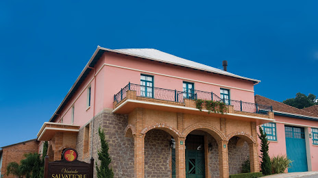
Felipe Guerra — 5,734 (less by 14,788), Flores da Cunha — 20,522 residents.
The cost of travel
Calculate the cost of the trip yourself using the fuel consumption calculator, changing the data in the table.