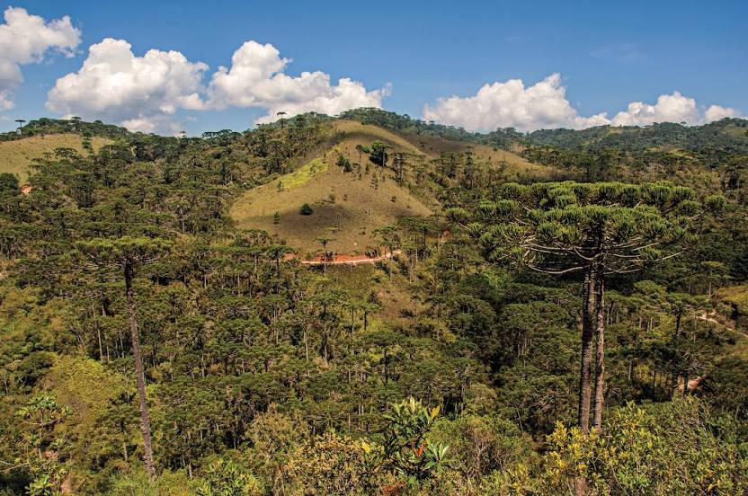
Tombos — Palmares
Tombos — Tocantins
Tombos — Bady Bassitt
Tombos — Alexânia
Tombos — Marmelada
Tombos — Hat Hill
Tombos — Setubinha
Tombos — Congonhas-São Paulo Airport
Tombos — Missal
Tombos — Rosário do Ivaí
Tombos — Vitória da Conquista
Tombos — Taquaritinga do Norte
Tombos — Ubaíra
Tombos — Cunha
Tombos — Harmonia
Tombos — Serra Azul
Tombos — Goianira
Tombos — São Cristóvão
Tombos — Bela Vista
Raposo
Muriaé
Leopoldina
Além Paraíba
Teresópolis
Guapimirim
Magé
Coriolano
Brazil
Queimados
Japeri
Seropédica
Piraí
Pinheiral
Barra Mansa
Porto Real
Resende
Penedo
Itatiaia
Queluz
Lavrinhas
Cruzeiro
Cachoeira Paulista
Canas
Lorena
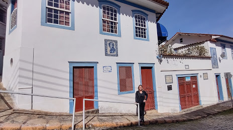
Tombos — Guaratinguetá distance, route on the map
Distance by car
Distance between Tombos, Minas Gerais, Brazil and Guaratinguetá, São Paulo, Brazil by car is — km, or miles. To travel this distance by car, you need minute, or h.
Route on the map, driving directions
Car route Tombos — Guaratinguetá was created automatically. The road on the map is shown as a blue line. By moving the markers, you can create a new route through the points you need.
Passing cities through which the car route passes: Porciúncula, Raposo, Muriaé, Leopoldina, Além Paraíba, Teresópolis, Guapimirim, Magé, Coriolano, Brazil, Queimados, Japeri, Seropédica, Piraí, Pinheiral, Barra Mansa, Porto Real, Resende, Penedo, Itatiaia, Queluz, Lavrinhas, Cruzeiro, Cachoeira Paulista, Canas, Lorena.
Distance by plane
If you decide to take a trip Tombos Guaratinguetá by plane, then you have to fly the distance — 389 km or 241 miles. It is marked on the map with a gray line (between two points in a straight line).
Flight time
Estimated flight time Tombos Guaratinguetá by plane at cruising speed 750 km / h will be — 31 min.
Direction of movement
Brazil, Tombos — right-hand traffic. Brazil, Guaratinguetá — right-hand traffic.
Difference in time
Tombos and Guaratinguetá are in the same time zone. Between them there is no time difference (UTC -3 America/Sao_Paulo).
Interesting Facts
Information on alternative ways to get to your destination.
The length of this distance is about 1.0% of the total length of the equator.
The percentage of the population is clearly shown in the graph:
Tombos — 10,389 (less by 95,493), Guaratinguetá — 105,882 residents.
The cost of travel
Calculate the cost of the trip yourself using the fuel consumption calculator, changing the data in the table.