
 San Luis De Palenque
Casco Urbano De Tame
Corinto
Flandes
Pesca
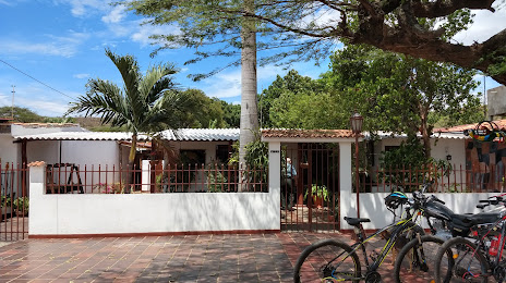
El Retiro
Corozal
Albania
Yotoco
Caicedonia
Gómez Plata
Carepa
Urrao
Villa Del Rosario
Pradera
El Banco
Victoria
Santander De Quilichao
Fosca
San Luis De Palenque
Casco Urbano De Tame
Corinto
Flandes
Pesca
El Retiro
Corozal
Albania
Yotoco
Caicedonia
Gómez Plata
Carepa
Urrao
Villa Del Rosario
Pradera
El Banco
Victoria
Santander De Quilichao
Fosca
Los Patios on the map, Colombia
Where is located Los Patios
Exact location — Los Patios, Los Patios, Norte de Santander, Colombia, marked on the map with a red marker.
Coordinates
Los Patios, Colombia coordinates in decimal format: latitude — 7.83879, longitude — -72.50296. When converted to degrees, minutes, seconds Los Patios has the following coordinates: 7°50′19.64 north latitude and -72°30′10.66 east longitude.
Population
Los Patios, Los Patios, Norte de Santander, Colombia, according to our data the population is — 58,663 residents, which is about 0.1% of the total population of the country (Colombia).
Comparison of the population on the graph:
Exact time
Time zone for this location Los Patios — UTC -5 America/Bogota. Exact time — friday, 4 april 2024 year, 04 h. 22 minutes.
Sunrise and sunset
Los Patios, sunrise and sunset data for a date — friday 26.04.2024.
| Sunrise | Sunset | Day (duration) |
|---|---|---|
| 05:38 -1 minute | 17:56 -0 minutes | 12 h. 18 minutes. +1 minute |
You can control the scale of the map using the auxiliary tools to find out exactly where it is located Los Patios. When you change the scale of the map, the width of the ruler also changes (in kilometers and miles).
Nearby cities
The largest cities that are located nearby:
- Cúcuta — 5 km
- San Cristobal
 (Venezuela) — 31 km
 - Bucaramanga — 104 km
- Floridablanca — 107 km
- Giron — 112 km
- Ejido (Venezuela) — 159 km
- Merida (Venezuela) — 170 km
- Barrancabermeja — 171 km
- Sogamoso — 239 km
- Barinas (Venezuela) — 262 km
- Tunja — 270 km
- Magangué — 290 km
- Valledupar — 303 km
- Cabimas (Venezuela) — 304 km
- Maracaibo (Venezuela) — 323 km
- Guanare (Venezuela) — 331 km
- Sincelejo — 355 km
- Bello — 375 km
- Medellín — 379 km
Distance to neighboring capitals:
- Caracas (Venezuela) — 680 km
- Panama
 (Panama) — 782 km
 - Quito
 (Ecuador) — 1110 km
 - San Jose
 (Costa Rica) — 1294 km
 - Georgetown
 (Guyana) — 1586 km
 - Nuestra Señora de La Paz
 (Bolivia) — 2749 km
 - Asuncion
 (Paraguay) — 4021 km
 - Santiago
 (Chile) — 4595 km
 - Buenos Aires
 (Argentina) — 4949 km
 - Montevideo
 (Uruguay) — 5054 km
Attractions
Distance to the capital
Distance to the capital (Bogota) is about — 400 km.