
 Gilserberg
Berlin
Bordesholm
Bechtolsheim
Aub
Triptis
Heppenheim
Biblis
Angermünde
Gilserberg
Berlin
Bordesholm
Bechtolsheim
Aub
Triptis
Heppenheim
Biblis
Angermünde
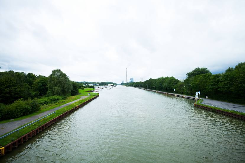
Datteln-Hamm Canal on the map, Kamen, Germany
Photo
Where is located Datteln-Hamm Canal
Datteln-Hamm Canal — local attraction, which is located at 47.2 km (29 mi) and belongs to the category — -. Average visitor rating for this place — 4.4 (according to 36 ratings, information from open sources and relevant for 2022).
Exact location — Datteln-Hamm Canal, marked on the map with a red marker.
You can get directions to Datteln-Hamm Canal on the map from your location.
What else is interesting in Kamen? You can see all the sights if you go to the city page.
Coordinates
Datteln-Hamm Canal, Germany coordinates in decimal format: latitude — 51.64892729877283, longitude — 7.643922949369493. When converted to degrees, minutes, seconds Datteln-Hamm Canal has the following coordinates: 51°38′56.14 north latitude and 7°38′38.12 east longitude.
Nearby cities
The largest cities that are located nearby:
- Hamm — 14 km
- Dortmund — 16 km
- Witten — 26 km
- Hagen — 28 km
- Recklinghausen — 32 km
- Herne — 32 km
- Bochum — 33 km
- Gelsenkirchen — 40 km
- Münster — 41 km
- Essen — 47 km
- Bottrop — 50 km
- Wuppertal — 51 km
- Oberhausen — 56 km
- Remscheid — 56 km
- Mülheim — 57 km
- Solingen — 61 km
- Duisburg — 64 km
- Moers — 72 km
- Düsseldorf — 73 km
Distance to the capital
Distance to the capital (Berlin) is about — 405 km.