
 Gilserberg
Berlin
Bordesholm
Bechtolsheim
Aub
Triptis
Heppenheim
Biblis
Angermünde
Gilserberg
Berlin
Bordesholm
Bechtolsheim
Aub
Triptis
Heppenheim
Biblis
Angermünde
Botanischer Garten on the map, Burghausen, Germany
Photo
Where is located Botanischer Garten
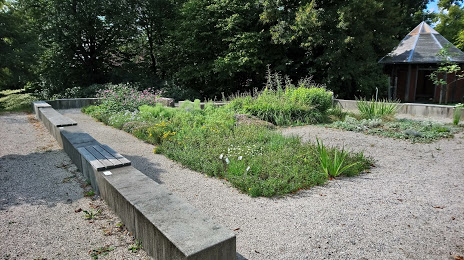
Botanischer Garten — local attraction, which is located at Ludwigsberg 2, 84489 Burghausen, Germany and belongs to the category — botanical garden. Average visitor rating for this place — 4.1 (according to 31 rating, information from open sources and relevant for 2022).
Exact location — Botanischer Garten, marked on the map with a red marker.
You can get directions to Botanischer Garten on the map from your location.
What else is interesting in Burghausen? You can see all the sights if you go to the city page.
Coordinates
Botanischer Garten, Germany coordinates in decimal format: latitude — 48.16562537761999, longitude — 12.833158825199467. When converted to degrees, minutes, seconds Botanischer Garten has the following coordinates: 48°9′56.25 north latitude and 12°49′59.37 east longitude.
Nearby cities
The largest cities that are located nearby:
- Salzburg
 (Austria) — 43 km
 - Munich — 92 km
- Regensburg — 107 km
- Linz (Austria) — 108 km
- Ingolstadt — 122 km
- Augsburg — 144 km
- Innsbruck (Austria) — 146 km
- Pilsen
 (Czech Republic) — 177 km
 - Nuremberg — 190 km
- Fürth — 196 km
- Erlangen — 204 km
- Ulm — 210 km
- Graz (Austria) — 231 km
- Prague (Czech Republic) — 239 km
- Vienna (Austria) — 261 km
- Ljubljana
 (Slovenia) — 267 km
 - Trento
 (Italy) — 267 km
 - Reutlingen — 268 km
- Würzburg — 272 km
Distance to the capital
Distance to the capital (Berlin) is about — 486 km.