
 Gilserberg
Berlin
Bordesholm
Bechtolsheim
Aub
Triptis
Heppenheim
Biblis
Angermünde
Gilserberg
Berlin
Bordesholm
Bechtolsheim
Aub
Triptis
Heppenheim
Biblis
Angermünde
Sächsisches Rot-Kreuz-Museum Beierfeld on the map, Schwarzenberg, Germany
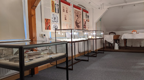
Photo
Where is located Sächsisches Rot-Kreuz-Museum Beierfeld
Sächsisches Rot-Kreuz-Museum Beierfeld — local attraction, which is located at August-Bebel-Straße 73, 08344 Grünhain-Beierfeld, Germany and belongs to the category — museum. Average visitor rating for this place — 4.3 (according to 7 ratings, information from open sources and relevant for 2022).
Exact location — Sächsisches Rot-Kreuz-Museum Beierfeld, marked on the map with a red marker.
You can get directions to Sächsisches Rot-Kreuz-Museum Beierfeld on the map from your location.
What else is interesting in Schwarzenberg? You can see all the sights if you go to the city page.
Coordinates
Sächsisches Rot-Kreuz-Museum Beierfeld, Germany coordinates in decimal format: latitude — 50.56185811003445, longitude — 12.787094425284852. When converted to degrees, minutes, seconds Sächsisches Rot-Kreuz-Museum Beierfeld has the following coordinates: 50°33′42.69 north latitude and 12°47′13.54 east longitude.
Nearby cities
The largest cities that are located nearby:
- Chemnitz — 33 km
- Gera — 62 km
- Dresden — 87 km
- Leipzig — 92 km
- Pilsen
 (Czech Republic) — 99 km
 - Prague (Czech Republic) — 129 km
- Erfurt — 131 km
- Erlangen — 165 km
- Cottbus — 171 km
- Nuremberg — 172 km
- Fürth — 174 km
- Regensburg — 176 km
- Magdeburg — 191 km
- Potsdam — 205 km
- Würzburg — 218 km
- Ingolstadt — 220 km
- Berlin — 220 km
- Göttingen — 226 km
- Zielona Gora
 (Poland) — 241 km
Distance to the capital
Distance to the capital (Berlin) is about — 222 km.