
 Bokamoso
Buysdorp
Xihosana
Ga-Sekororo
Ga-Rankuwa
Three Sisters
George
Haenertsburg
Polokwane
Bokamoso
Buysdorp
Xihosana
Ga-Sekororo
Ga-Rankuwa
Three Sisters
George
Haenertsburg
Polokwane
Postberg on the map, Saldanha, South Africa
Photo
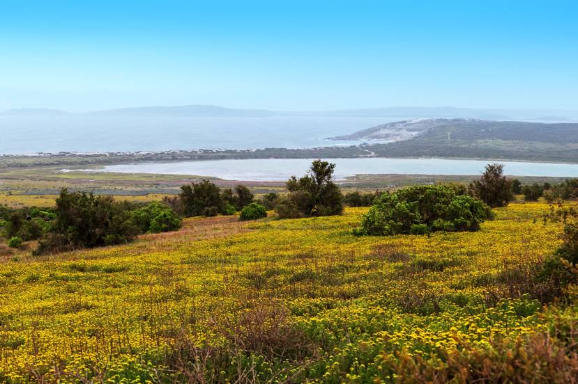
Where is located Postberg
Postberg — local attraction, which is located at no data and belongs to the category — -. Average visitor rating for this place — 4.5 (according to 18 ratings, information from open sources and relevant for 2022).
Exact location — Postberg, marked on the map with a red marker.
You can get directions to Postberg on the map from your location.
What else is interesting in Saldanha? You can see all the sights if you go to the city page.
Coordinates
Postberg, South Africa coordinates in decimal format: latitude — -33.012261877870564, longitude — 17.941524651808617. When converted to degrees, minutes, seconds Postberg has the following coordinates: -33°0′44.14 north latitude and 17°56′29.49 east longitude.
Nearby cities
The largest cities that are located nearby:
- Cape Town — 110 km
- Paarl — 123 km
- Worcester — 156 km
- Mossel Bay — 406 km
- George — 428 km
- Uitenhage — 694 km
- Port Elizabeth — 712 km
- Kimberley — 816 km
- Queenstown — 855 km
- Bisho — 885 km
- Bloemfontein — 911 km
- East London — 923 km
- Botshabelo — 946 km
- Maseru
 (Lesotho) — 1009 km
 - Welkom — 1025 km
- Virginia — 1028 km
- Kroonstad — 1089 km
- Orkney — 1091 km
- Klerksdorp — 1097 km
Distance to the capital
Distance to the capital (Pretoria) is about — 1279 km.