
 Puerto de la Duquesa
La Serna de Iguña
Pumalverde
Puentenansa
La Iglesia
Casar de Periedo
Fuengirola
Renedo de Piélagos
Villabanez
Puerto de la Duquesa
La Serna de Iguña
Pumalverde
Puentenansa
La Iglesia
Casar de Periedo
Fuengirola
Renedo de Piélagos
Villabanez
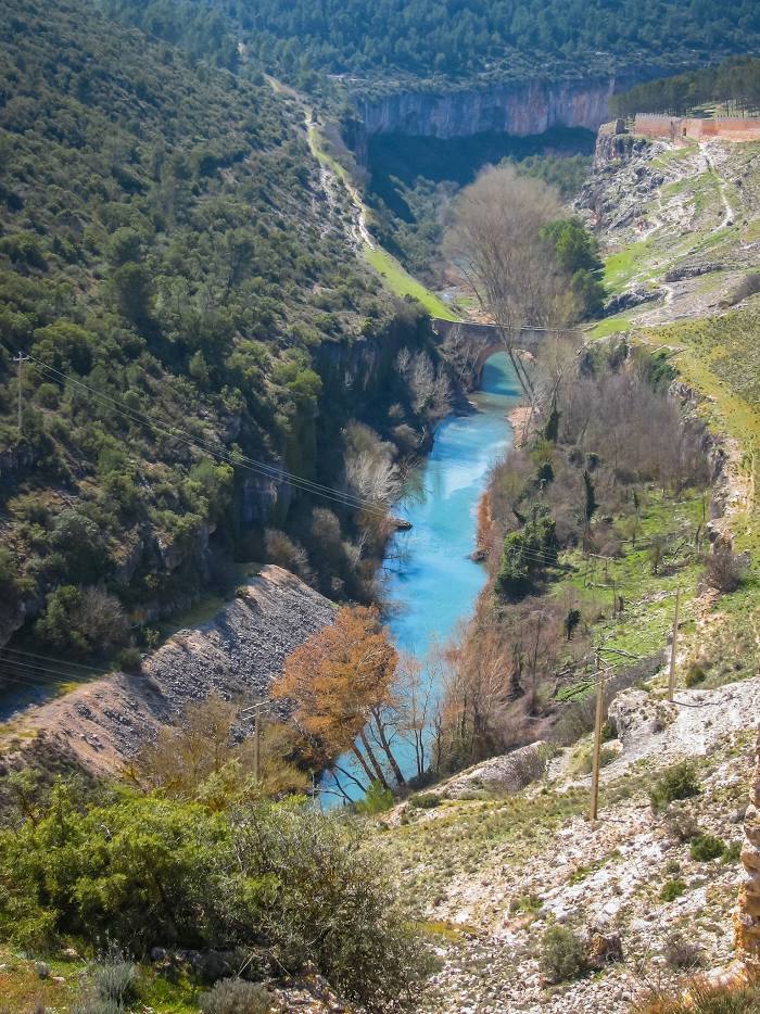
Júcar on the map, Algemesí, Spain
Photo
Where is located Júcar
Júcar — local attraction, which is located at 509 km and belongs to the category — -. Average visitor rating for this place — 4.4 (according to 269 ratings, information from open sources and relevant for 2022).
Exact location — Júcar, marked on the map with a red marker.
You can get directions to Júcar on the map from your location.
What else is interesting in Algemesí? You can see all the sights if you go to the city page.
Coordinates
Júcar, Spain coordinates in decimal format: latitude — 39.19214109373782, longitude — -0.43478116743247686. When converted to degrees, minutes, seconds Júcar has the following coordinates: 39°11′31.71 north latitude and -0°26′5.21 east longitude.
Nearby cities
The largest cities that are located nearby:
- Valencia — 31 km
- Albacete — 124 km
- Murcia — 146 km
- Cartagena — 180 km
- Tarragona — 255 km
- Palma — 266 km
- Zaragoza — 274 km
- Lleida — 282 km
- Alcala de Henares — 285 km
- Torrejón de Ardoz — 292 km
- Getafe — 304 km
- Alcobendas — 308 km
- Leganés — 308 km
- Fuenlabrada — 309 km
- Alcorcón — 313 km
- Móstoles — 315 km
- Almería — 317 km
- L'Hospitalet de Llobregat — 320 km
- Terrassa — 331 km
Distance to the capital
Distance to the capital (Madrid) is about — 311 km.