
 Gilserberg
Berlin
Bordesholm
Bechtolsheim
Aub
Triptis
Heppenheim
Biblis
Angermünde
Gilserberg
Berlin
Bordesholm
Bechtolsheim
Aub
Triptis
Heppenheim
Biblis
Angermünde
Milchradweg Hünxe-Schermbeck on the map, Schermbeck, Germany
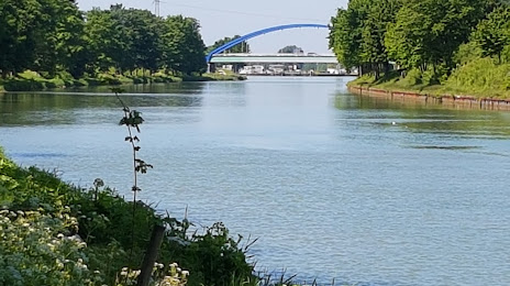
Photo
Where is located Milchradweg Hünxe-Schermbeck
Milchradweg Hünxe-Schermbeck — local attraction, which is located at Gahlener Str. 102, 46569 Hünxe, Germany and belongs to the category — museum. Average visitor rating for this place — 4.3 (according to 3 ratings, information from open sources and relevant for 2022).
Exact location — Milchradweg Hünxe-Schermbeck, marked on the map with a red marker.
You can get directions to Milchradweg Hünxe-Schermbeck on the map from your location.
What else is interesting in Schermbeck? You can see all the sights if you go to the city page.
Coordinates
Milchradweg Hünxe-Schermbeck, Germany coordinates in decimal format: latitude — 51.64929232336434, longitude — 6.787251425324643. When converted to degrees, minutes, seconds Milchradweg Hünxe-Schermbeck has the following coordinates: 51°38′57.45 north latitude and 6°47′14.11 east longitude.
Nearby cities
The largest cities that are located nearby:
- Bottrop — 19 km
- Oberhausen — 22 km
- Recklinghausen — 24 km
- Gelsenkirchen — 24 km
- Essen — 28 km
- Herne — 28 km
- Duisburg — 30 km
- Mülheim — 30 km
- Moers — 31 km
- Bochum — 33 km
- Witten — 43 km
- Krefeld — 44 km
- Dortmund — 45 km
- Wuppertal — 52 km
- Düsseldorf — 52 km
- Hagen — 54 km
- Neuss — 56 km
- Enschede
 (Netherlands) — 58 km
 - Münster — 59 km
Distance to the capital
Distance to the capital (Berlin) is about — 462 km.