La Trinitaria — Yerbabuena
La Trinitaria — Chicxulub Pueblo
La Trinitaria — Las Palomas
La Trinitaria — La Esperanza
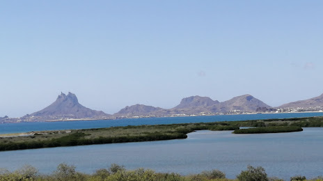
La Trinitaria — Onavas
La Trinitaria — San Mateo Rio Hondo
La Trinitaria — Santa María Mixtequilla
La Trinitaria — Las Pintitas
La Trinitaria — Venustiano Carranza
La Trinitaria — Domingo Arenas
La Trinitaria — Jesús Gómez Portugal
La Trinitaria — Panabá
La Trinitaria — Actopan
La Trinitaria — Santa María Huatulco
La Trinitaria — Charcas
La Trinitaria — Minatitlán
La Trinitaria — El Combate
La Trinitaria — Culiacán Rosales
La Trinitaria — Palizada
La Trinitaria — Yerbabuena
La Trinitaria — Chicxulub Pueblo
La Trinitaria — Las Palomas
La Trinitaria — La Esperanza
La Trinitaria — Onavas
La Trinitaria — San Mateo Rio Hondo
La Trinitaria — Santa María Mixtequilla
La Trinitaria — Las Pintitas
La Trinitaria — Venustiano Carranza
La Trinitaria — Domingo Arenas
La Trinitaria — Jesús Gómez Portugal
La Trinitaria — Panabá
La Trinitaria — Actopan
La Trinitaria — Santa María Huatulco
La Trinitaria — Charcas
La Trinitaria — Minatitlán
La Trinitaria — El Combate
La Trinitaria — Culiacán Rosales
La Trinitaria — Palizada
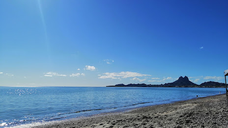
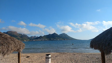
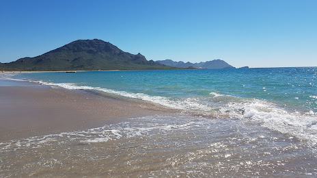
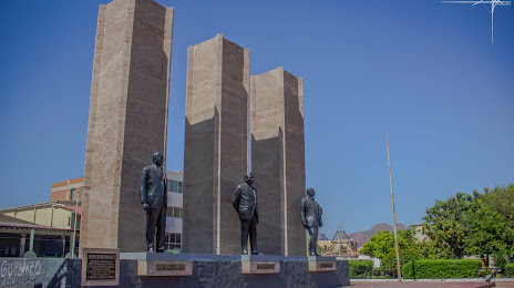
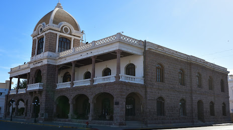
La Trinitaria — Guaymas distance, route on the map
Distance by car
Distance between La Trinitaria, Chiapas, Mexico and Guaymas, Sonora, Mexico by car is — km, or miles. To travel this distance by car, you need minute, or h.
Route on the map, driving directions
Car route La Trinitaria — Guaymas was created automatically. The road on the map is shown as a blue line. By moving the markers, you can create a new route through the points you need.
Distance by plane
If you decide to take a trip La Trinitaria Guaymas by plane, then you have to fly the distance — 2340 km or 1451 miles. It is marked on the map with a gray line (between two points in a straight line).
Flight time
Estimated flight time La Trinitaria Guaymas by plane at cruising speed 750 km / h will be — 3 h. and 7 min.
Direction of movement
Mexico, La Trinitaria — right-hand traffic. Mexico, Guaymas — right-hand traffic.
Difference in time
La Trinitaria and Guaymas are in different time zones. The time difference is 1 hour (UTC -6 America/Mexico_City, UTC -7 America/Hermosillo).
Interesting Facts
Information on alternative ways to get to your destination.
The length of this distance is about 5.8% of the total length of the equator.
The percentage of the population is clearly shown in the graph:
La Trinitaria — 6,655 (less by 96,799), Guaymas — 103,454 residents.
The cost of travel
Calculate the cost of the trip yourself using the fuel consumption calculator, changing the data in the table.