
 Litoral Del Bajo San Juan
El Cantón de San Pablo
Juan Frío
Santa Barbara
El Juncal
Dibulla
Vereda Campo Alegre
San Pablo
Guaramito
Litoral Del Bajo San Juan
El Cantón de San Pablo
Juan Frío
Santa Barbara
El Juncal
Dibulla
Vereda Campo Alegre
San Pablo
Guaramito
Malagana on the map, Palmira, Colombia
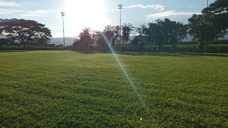
Photo
Where is located Malagana
Malagana — local attraction, which is located at Palmira, Valle del Cauca, Colombia and belongs to the category — archaeological site. Average visitor rating for this place — 3.4 (according to 5 ratings, information from open sources and relevant for 2022).
Exact location — Malagana, marked on the map with a red marker.
You can get directions to Malagana on the map from your location.
What else is interesting in Palmira? You can see all the sights if you go to the city page.
Coordinates
Malagana, Colombia coordinates in decimal format: latitude — 3.537923609678061, longitude — -76.29723007569217. When converted to degrees, minutes, seconds Malagana has the following coordinates: 3°32′16.52 north latitude and -76°17′50.03 east longitude.
Nearby cities
The largest cities that are located nearby:
- Cali — 26 km
- Buga — 41 km
- Tuluá — 62 km
- Buenaventura — 94 km
- Popayán — 125 km
- Neiva — 130 km
- Armenia — 130 km
- Cartago — 141 km
- Ibagué — 155 km
- Pereira — 157 km
- Dos Quebradas — 160 km
- Girardot — 185 km
- Manizales — 190 km
- Florencia — 225 km
- Soacha — 257 km
- Pasto — 277 km
- Itagüi — 301 km
- Villavicencio — 302 km
- Envigado — 302 km
Distance to the capital
Distance to the capital (Bogota) is about — 273 km.