
 Volkach
Malsch
Meuselwitz
Coesfeld
Neumarkt in der Oberpfalz
Mutterstadt
Friedrichshain
Hillesheim
Traunstein
Heinsberg
Ostbevern
Stadtlohn
Bad Mergentheim
Minden
Griesheim
Geisenhausen
Wittlich-Land
Hirschhorn
Hebel
Volkach
Malsch
Meuselwitz
Coesfeld
Neumarkt in der Oberpfalz
Mutterstadt
Friedrichshain
Hillesheim
Traunstein
Heinsberg
Ostbevern
Stadtlohn
Bad Mergentheim
Minden
Griesheim
Geisenhausen
Wittlich-Land
Hirschhorn
Hebel
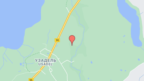
Neubrandenburg on the map, Germany
Where is located Neubrandenburg
Exact location — Neubrandenburg, Mecklenburg-Vorpommern, Germany, marked on the map with a red marker.
Coordinates
Neubrandenburg, Germany coordinates in decimal format: latitude — 53.5678292, longitude — 13.2779269. When converted to degrees, minutes, seconds Neubrandenburg has the following coordinates: 53°34′4.19 north latitude and 13°16′40.54 east longitude.
Population
Neubrandenburg, Mecklenburg-Vorpommern, Germany, according to our data the population is — 67,393 residents, which is about 0.1% of the total population of the country (Germany).
Comparison of the population on the graph:
Exact time
Time zone for this location Neubrandenburg — UTC +2 Europe/Berlin. Exact time — friday, 5 may 2024 year, 10 h. 35 minutes.
Sunrise and sunset
Neubrandenburg, sunrise and sunset data for a date — friday 17.05.2024.
| Sunrise | Sunset | Day (duration) |
|---|---|---|
| 05:06 -2 minutes | 21:00 +2 minutes | 15 h. 54 minutes. +4 minutes |
You can control the scale of the map using the auxiliary tools to find out exactly where it is located Neubrandenburg. When you change the scale of the map, the width of the ruler also changes (in kilometers and miles).
Nearby cities
The largest cities that are located nearby:
- Szczecin
 (Poland) — 85 km
 - Rostock — 96 km
- Berlin — 118 km
- Potsdam — 131 km
- Gorzów Wielkopolski (Poland) — 160 km
- Magdeburg — 195 km
- Koszalin (Poland) — 200 km
- Wolfsburg — 210 km
- Cottbus — 213 km
- Kiel — 220 km
- Malmö
 (Sweden) — 226 km
 - Brunswick — 235 km
- Zielona Gora (Poland) — 236 km
- Copenhagen
 (Denmark) — 237 km
 - Salzgitter — 254 km
- Leipzig — 254 km
- Odense (Denmark) — 272 km
- Hanover — 273 km
- Hildesheim — 274 km
Distance to neighboring capitals:
- Copenhagen (Denmark) — 239 km
- Prague
 (Czech Republic) — 397 km
 - Warsaw (Poland) — 540 km
- Amsterdam
 (Netherlands) — 577 km
 - Vienna
 (Austria) — 634 km
 - Brussels
 (Belgium) — 679 km
 - Stockholm (Sweden) — 699 km
- Oslo
 (Norway) — 722 km
 - Vaduz
 (Liechtenstein) — 763 km
 - Ljubljana
 (Slovenia) — 840 km
 - Bern
 (Switzerland) — 844 km
 - Paris
 (France) — 923 km
 - Paris (France) — 923 km
- Minsk
 (Belarus) — 939 km
 - Helsinki
 (Finland) — 1018 km
 - Kyiv
 (Ukraine) — 1227 km
 - Rome
 (Italy) — 1299 km
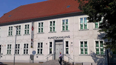
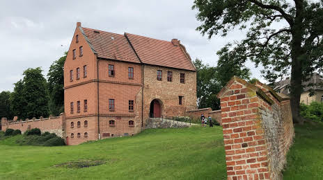
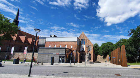
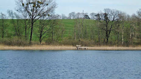
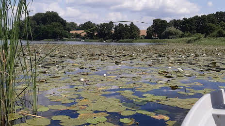
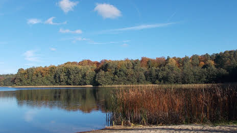
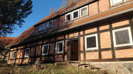
Attractions


Distance to the capital
Distance to the capital (Berlin) is about — 117 km.