

Isla Corazón on the map, Bahia de Caraquez, Ecuador
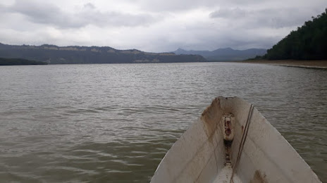
Photo
Where is located Isla Corazón
Isla Corazón — local attraction, which is located at no data and belongs to the category — -. Average visitor rating for this place — 4.1 (according to 42 ratings, information from open sources and relevant for 2022).
Exact location — Isla Corazón, marked on the map with a red marker.
You can get directions to Isla Corazón on the map from your location.
What else is interesting in Bahia de Caraquez? You can see all the sights if you go to the city page.
Coordinates
Isla Corazón, Ecuador coordinates in decimal format: latitude — -0.6357775100806732, longitude — -80.41644640892132. When converted to degrees, minutes, seconds Isla Corazón has the following coordinates: -0°38′8.8 north latitude and -80°24′59.21 east longitude.
Nearby cities
The largest cities that are located nearby:
- Portoviejo — 48 km
- Manta — 50 km
- Quevedo — 116 km
- Santo Domingo — 145 km
- Guayaquil — 180 km
- Milagro — 192 km
- Ambato — 211 km
- Riobamba — 227 km
- Ibarra — 276 km
- Cuenca — 297 km
- Tumbes
 (Peru) — 325 km
 - Santiago — 372 km
- Loja — 396 km
- Pasto
 (Colombia) — 403 km
 - Talara (Peru) — 448 km
- Sullana (Peru) — 475 km
- Piura (Peru) — 507 km
- Popayán (Colombia) — 541 km
- Florencia (Colombia) — 587 km
Distance to the capital
Distance to the capital (Quito) is about — 223 km.