Vryburg — Heilbron
Vryburg — Garies
Vryburg — Ilanga
Vryburg — Everton
Vryburg — Norvalspont
Vryburg — Matanda
Vryburg — Swartruggens
Vryburg — Soshanguve
Vryburg — Kruger National Park
Vryburg — Nuy
Vryburg — Rietfontein
Vryburg — De Doorns
Vryburg — Mokopane
Vryburg — Randfontein
Vryburg — Manguzi
Vryburg — Sedgefield
Vryburg — Nelspoort
Vryburg — Heidelberg - GP
Vryburg — Sherwood
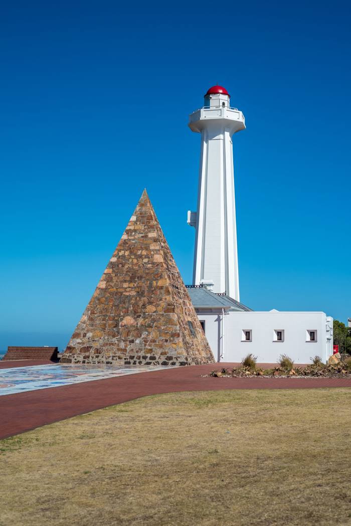
Vryburg — Port Elizabeth distance, route on the map
Distance by car
Distance between Vryburg, North West, South Africa and Port Elizabeth, Eastern Cape, South Africa by car is — km, or miles. To travel this distance by car, you need minute, or h.
Route on the map, driving directions
Car route Vryburg — Port Elizabeth was created automatically. The road on the map is shown as a blue line. By moving the markers, you can create a new route through the points you need.
Distance by plane
If you decide to take a trip Vryburg Port Elizabeth by plane, then you have to fly the distance — 783 km or 485 miles. It is marked on the map with a gray line (between two points in a straight line).
Flight time
Estimated flight time Vryburg Port Elizabeth by plane at cruising speed 750 km / h will be — 1 h. and 2 min.
Direction of movement
South Africa, Vryburg — left-hand traffic. South Africa, Port Elizabeth — left-hand traffic.
Difference in time
Vryburg and Port Elizabeth are in the same time zone. Between them there is no time difference (UTC +2 Africa/Johannesburg).
Interesting Facts
Information on alternative ways to get to your destination.
The length of this distance is about 2.0% of the total length of the equator.
The percentage of the population is clearly shown in the graph:
Vryburg — 49,590 (less by 918,132), Port Elizabeth — 967,722 residents.
The cost of travel
Calculate the cost of the trip yourself using the fuel consumption calculator, changing the data in the table.