
 Gilserberg
Berlin
Bordesholm
Bechtolsheim
Aub
Triptis
Heppenheim
Biblis
Angermünde
Gilserberg
Berlin
Bordesholm
Bechtolsheim
Aub
Triptis
Heppenheim
Biblis
Angermünde
Jewish Museum Berlin on the map, Kreuzberg, Germany
Photo
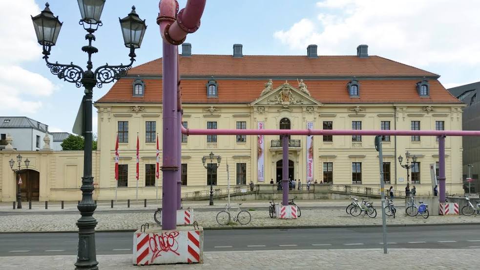
Where is located Jewish Museum Berlin
Jewish Museum Berlin — local attraction, which is located at Lindenstraße 9-14, 10969 Berlin, Germany and belongs to the category — museum. Average visitor rating for this place — 4.2 (according to 11521 rating, information from open sources and relevant for 2022).
Exact location — Jewish Museum Berlin, marked on the map with a red marker.
You can get directions to Jewish Museum Berlin on the map from your location.
What else is interesting in Kreuzberg? You can see all the sights if you go to the city page.
Coordinates
Jewish Museum Berlin, Germany coordinates in decimal format: latitude — 52.502282090489764, longitude — 13.395382525356242. When converted to degrees, minutes, seconds Jewish Museum Berlin has the following coordinates: 52°30′8.22 north latitude and 13°23′43.38 east longitude.
Nearby cities
The largest cities that are located nearby:
- Potsdam — 25 km
- Cottbus — 104 km
- Gorzów Wielkopolski
 (Poland) — 126 km
 - Magdeburg — 127 km
- Szczecin (Poland) — 128 km
- Leipzig — 146 km
- Zielona Gora (Poland) — 157 km
- Dresden — 162 km
- Wolfsburg — 176 km
- Chemnitz — 188 km
- Rostock — 195 km
- Brunswick — 196 km
- Gera — 200 km
- Salzgitter — 211 km
- Erfurt — 235 km
- Hildesheim — 236 km
- Poznań (Poland) — 239 km
- Legnica (Poland) — 239 km
- Hanover — 247 km
Distance to the capital
Distance to the capital (Berlin) is about — 2 km.