
 Belém
Maranguape
Paranaguá
Paranaguá
Monte Alegre
Alvorada de Minas
Bragança
Laguna
Ibiporã
Belém
Maranguape
Paranaguá
Paranaguá
Monte Alegre
Alvorada de Minas
Bragança
Laguna
Ibiporã
Ubajara National Park on the map, Frecheirinha, Brazil
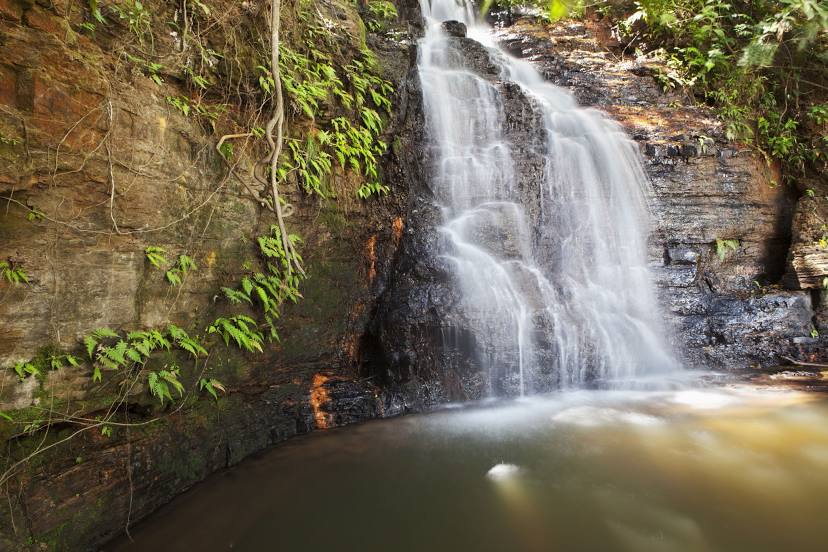
Photo
Where is located Ubajara National Park
Ubajara National Park — local attraction, which is located at Ubajara - State of Ceará, Brazil and belongs to the category — national park. Average visitor rating for this place — 4.7 (according to 3108 ratings, information from open sources and relevant for 2022).
Exact location — Ubajara National Park, marked on the map with a red marker.
You can get directions to Ubajara National Park on the map from your location.
What else is interesting in Frecheirinha? You can see all the sights if you go to the city page.
Coordinates
Ubajara National Park, Brazil coordinates in decimal format: latitude — -3.768648455777383, longitude — -40.90803360653812. When converted to degrees, minutes, seconds Ubajara National Park has the following coordinates: -3°46′7.13 north latitude and -40°54′28.92 east longitude.
Nearby cities
The largest cities that are located nearby:
- Parnaíba — 141 km
- Caucaia — 238 km
- Maracanaú — 242 km
- Fortaleza — 253 km
- Teresina — 264 km
- Timon — 267 km
- Caxias — 306 km
- São Luís — 406 km
- Mossoro — 413 km
- Juazeiro do Norte — 418 km
- Petrolina — 624 km
- Parnamirim — 655 km
- Natal — 657 km
- Campina Grande — 664 km
- Caruaru — 729 km
- Santa Rita — 743 km
- João Pessoa — 753 km
- Imperatriz — 758 km
- Camaragibe — 795 km