
 Bokamoso
Buysdorp
Xihosana
Ga-Sekororo
Ga-Rankuwa
Three Sisters
George
Haenertsburg
Polokwane
Bokamoso
Buysdorp
Xihosana
Ga-Sekororo
Ga-Rankuwa
Three Sisters
George
Haenertsburg
Polokwane
Karoo National Park on the map, Beaufort West, South Africa
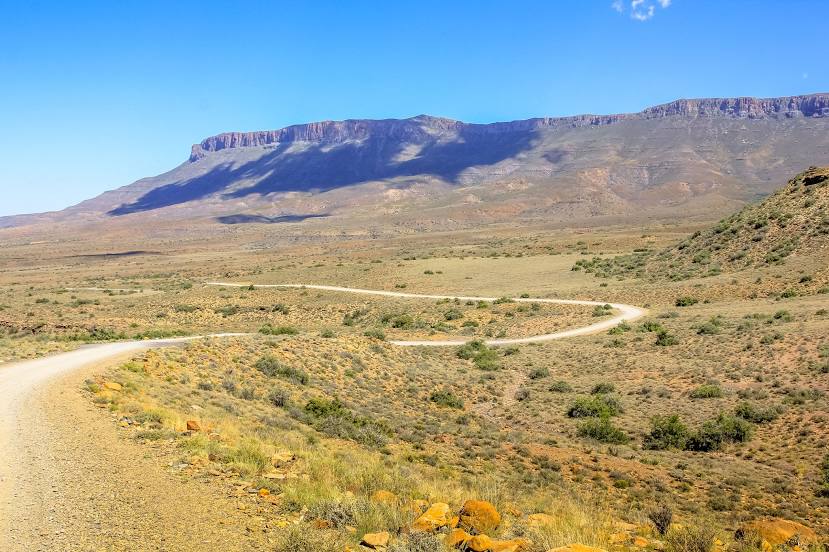
Photo
Where is located Karoo National Park
Karoo National Park — local attraction, which is located at .Off 6970, N1, Beaufort West, 6970, South Africa and belongs to the category — park. Average visitor rating for this place — 4.5 (according to 1065 ratings, information from open sources and relevant for 2022).
Exact location — Karoo National Park, marked on the map with a red marker.
You can get directions to Karoo National Park on the map from your location.
What else is interesting in Beaufort West? You can see all the sights if you go to the city page.
Coordinates
Karoo National Park, South Africa coordinates in decimal format: latitude — -32.3488983568394, longitude — 22.515865749786474. When converted to degrees, minutes, seconds Karoo National Park has the following coordinates: -32°20′56.03 north latitude and 22°30′57.12 east longitude.
Nearby cities
The largest cities that are located nearby:
- George — 179 km
- Mossel Bay — 207 km
- Uitenhage — 304 km
- Worcester — 323 km
- Port Elizabeth — 329 km
- Paarl — 367 km
- Queenstown — 411 km
- Cape Town — 419 km
- Kimberley — 452 km
- Bisho — 454 km
- East London — 495 km
- Bloemfontein — 501 km
- Botshabelo — 525 km
- Maseru
 (Lesotho) — 580 km
 - Virginia — 627 km
- Welkom — 630 km
- Kroonstad — 691 km
- Orkney — 717 km
- Klerksdorp — 727 km
Distance to the capital
Distance to the capital (Pretoria) is about — 918 km.