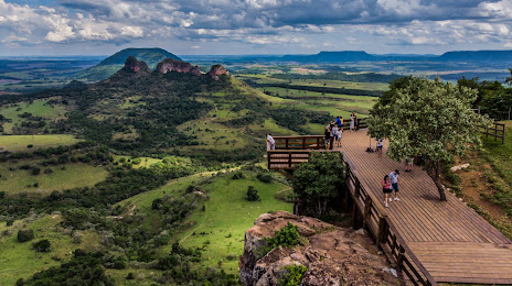
Buritizeiro — Jacutinga
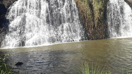
Buritizeiro — Bombinhas
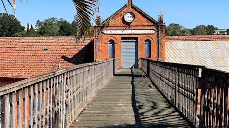
Buritizeiro — Correntina
Buritizeiro — State of Rio de Janeiro
Buritizeiro — Mauá
Buritizeiro — Seberi
Buritizeiro — Colina
Buritizeiro — Sapiranga
Buritizeiro — Luís Correia
Buritizeiro — Alfredo Chaves
Buritizeiro — Lagoa da Prata
Buritizeiro — Espírito Santo do Turvo
Buritizeiro — Ibimirim
Buritizeiro — Lavrinhas
Buritizeiro — Itamogi
Buritizeiro — Rosário
Buritizeiro — Gerson Baduy I
Buritizeiro — Castro
Buritizeiro — Descanso
Igarapava
Aramina
Ituverava
Guará
São Joaquim da Barra
São Joaquim da Barra
Orlândia
Sales Oliveira
Jardinópolis
Ribeirão Preto
Ribeirão Preto
Américo Brasiliense
Boa Esperança do Sul
Barra Bonita
Igaraçu do Tietê
São Manuel
Buritizeiro — Jacutinga
Buritizeiro — Bombinhas
Buritizeiro — Correntina
Buritizeiro — State of Rio de Janeiro
Buritizeiro — Mauá
Buritizeiro — Seberi
Buritizeiro — Colina
Buritizeiro — Sapiranga
Buritizeiro — Luís Correia
Buritizeiro — Alfredo Chaves
Buritizeiro — Lagoa da Prata
Buritizeiro — Espírito Santo do Turvo
Buritizeiro — Ibimirim
Buritizeiro — Lavrinhas
Buritizeiro — Itamogi
Buritizeiro — Rosário
Buritizeiro — Gerson Baduy I
Buritizeiro — Castro
Buritizeiro — Descanso
Igarapava
Aramina
Ituverava
Guará
São Joaquim da Barra
São Joaquim da Barra
Orlândia
Sales Oliveira
Jardinópolis
Ribeirão Preto
Ribeirão Preto
Américo Brasiliense
Boa Esperança do Sul
Barra Bonita
Igaraçu do Tietê
São Manuel
Buritizeiro — Botucatu distance, route on the map
Distance by car
Distance between Buritizeiro, Minas Gerais, Brazil and Botucatu, São Paulo, Brazil by car is — km, or miles. To travel this distance by car, you need minute, or h.
Route on the map, driving directions
Car route Buritizeiro — Botucatu was created automatically. The road on the map is shown as a blue line. By moving the markers, you can create a new route through the points you need.
Passing cities through which the car route passes: Uberaba, Igarapava, Aramina, Ituverava, Guará, São Joaquim da Barra, São Joaquim da Barra, Orlândia, Sales Oliveira, Jardinópolis, Ribeirão Preto, Ribeirão Preto, Américo Brasiliense, Boa Esperança do Sul, Barra Bonita, Igaraçu do Tietê, São Manuel.
Distance by plane
If you decide to take a trip Buritizeiro Botucatu by plane, then you have to fly the distance — 713 km or 442 miles. It is marked on the map with a gray line (between two points in a straight line).
Flight time
Estimated flight time Buritizeiro Botucatu by plane at cruising speed 750 km / h will be — 57 min.
Direction of movement
Brazil, Buritizeiro — right-hand traffic. Brazil, Botucatu — right-hand traffic.
Difference in time
Buritizeiro and Botucatu are in the same time zone. Between them there is no time difference (UTC -3 America/Sao_Paulo).
Interesting Facts
Information on alternative ways to get to your destination.
The length of this distance is about 1.8% of the total length of the equator.
The percentage of the population is clearly shown in the graph:
Buritizeiro — 25,104 (less by 88,758), Botucatu — 113,862 residents.
The cost of travel
Calculate the cost of the trip yourself using the fuel consumption calculator, changing the data in the table.