Bom Jesus do Norte — Maceió International Airport - Zumbi dos Palmares
Bom Jesus do Norte — Porto Franco
Bom Jesus do Norte — Moroco
Bom Jesus do Norte — Ribeirão do Pinhal
Bom Jesus do Norte — Monte Azul
Bom Jesus do Norte — Itaúna
Bom Jesus do Norte — São Paulo
Bom Jesus do Norte — Ipatinga
Bom Jesus do Norte — Atalaia
Bom Jesus do Norte — Rio Negro
Bom Jesus do Norte — Álvares Machado
Bom Jesus do Norte — Queimadas
Bom Jesus do Norte — Maragogi
Bom Jesus do Norte — Itobi
Bom Jesus do Norte — Taiúva
Bom Jesus do Norte — Clementina
Bom Jesus do Norte — Águas Mornas
Bom Jesus do Norte — Jutica
Bom Jesus do Norte — São Luís
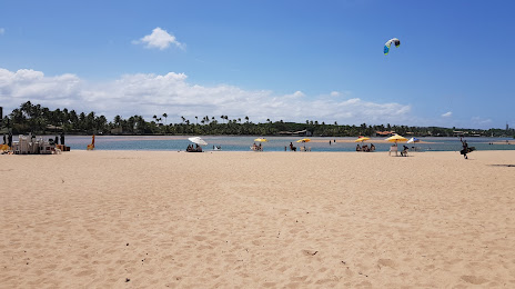
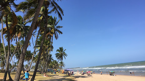
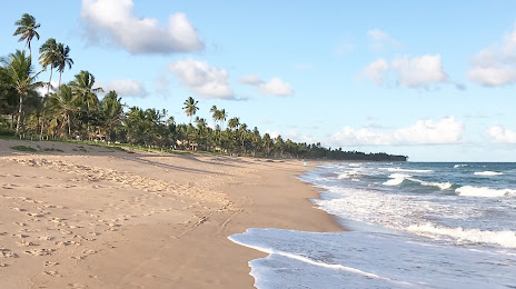
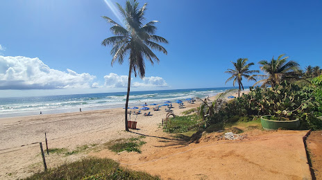
Bom Jesus do Norte — Lauro de Freitas distance, route on the map
Distance by car
Distance between Bom Jesus do Norte, Espírito Santo, Brazil and Lauro de Freitas, Bahia, Brazil by car is — km, or miles. To travel this distance by car, you need minute, or h.
Route on the map, driving directions
Car route Bom Jesus do Norte — Lauro de Freitas was created automatically. The road on the map is shown as a blue line. By moving the markers, you can create a new route through the points you need.
Distance by plane
If you decide to take a trip Bom Jesus do Norte Lauro de Freitas by plane, then you have to fly the distance — 983 km or 609 miles. It is marked on the map with a gray line (between two points in a straight line).
Flight time
Estimated flight time Bom Jesus do Norte Lauro de Freitas by plane at cruising speed 750 km / h will be — 1 h. and 18 min.
Direction of movement
Brazil, Bom Jesus do Norte — right-hand traffic. Brazil, Lauro de Freitas — right-hand traffic.
Difference in time
Bom Jesus do Norte and Lauro de Freitas are in the same time zone. Between them there is no time difference (UTC -3 America/Sao_Paulo).
Interesting Facts
Information on alternative ways to get to your destination.
The length of this distance is about 2.5% of the total length of the equator.
The percentage of the population is clearly shown in the graph:
Bom Jesus do Norte — 8,608 (less by 132,672), Lauro de Freitas — 141,280 residents.
The cost of travel
Calculate the cost of the trip yourself using the fuel consumption calculator, changing the data in the table.