Abaetetuba — Cícero Dantas
Abaetetuba — Campo Formoso
Abaetetuba — Canguaretama
Abaetetuba — Luziânia
Abaetetuba — Formosa do Rio Preto
Abaetetuba — Dom Pedro
Abaetetuba — Jundiá
Abaetetuba — Poconé
Abaetetuba — Raul Soares
Abaetetuba — Santa Cruz da Conceição
Abaetetuba — Itatiaia
Abaetetuba — Indaiatuba
Abaetetuba — Ipatinga
Abaetetuba — Siriri
Abaetetuba — Mandaguaçu
Abaetetuba — Irará
Abaetetuba — Marilac
Abaetetuba — Marília
Abaetetuba — Jussara
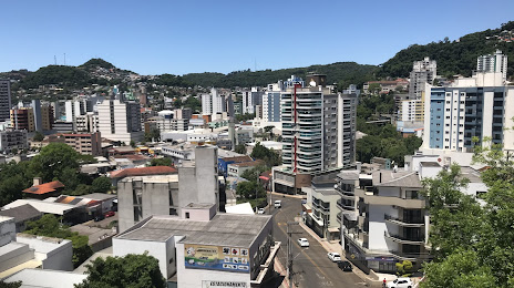
Abaetetuba — Videira distance, route on the map
Distance by car
Distance between Abaetetuba, Pará, Brazil and Videira, Santa Catarina, Brazil by car is — km, or miles. To travel this distance by car, you need minute, or h.
Route on the map, driving directions
Car route Abaetetuba — Videira was created automatically. The road on the map is shown as a blue line. By moving the markers, you can create a new route through the points you need.
Distance by plane
If you decide to take a trip Abaetetuba Videira by plane, then you have to fly the distance — 2823 km or 1750 miles. It is marked on the map with a gray line (between two points in a straight line).
Flight time
Estimated flight time Abaetetuba Videira by plane at cruising speed 750 km / h will be — 3 h. and 45 min.
Direction of movement
Brazil, Abaetetuba — right-hand traffic. Brazil, Videira — right-hand traffic.
Difference in time
Abaetetuba and Videira are in the same time zone. Between them there is no time difference (UTC -3 America/Belem).
Interesting Facts
Information on alternative ways to get to your destination.
The length of this distance is about 7.0% of the total length of the equator.
The percentage of the population is clearly shown in the graph:
Abaetetuba — 78,052, Videira — 42,441 residents (less by 35,611).
The cost of travel
Calculate the cost of the trip yourself using the fuel consumption calculator, changing the data in the table.