

Pataleshwar Temple on the map, Pune, India
Photo
Where is located Pataleshwar Temple
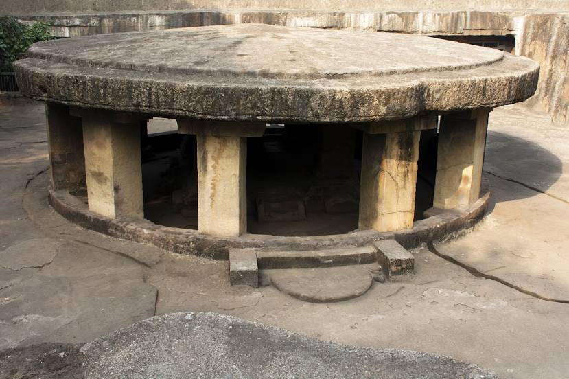
Pataleshwar Temple — local attraction, which is located at Jangali Maharaj Rd, Revenue Colony, Shivajinagar, Pune, Maharashtra 411005, India and belongs to the category — hindu temple. Average visitor rating for this place — 4.5 (according to 5737 ratings, information from open sources and relevant for 2022).
Exact location — Pataleshwar Temple, marked on the map with a red marker.
You can get directions to Pataleshwar Temple on the map from your location.
What else is interesting in Pune? You can see all the sights if you go to the city page.
Coordinates
Pataleshwar Temple, India coordinates in decimal format: latitude — 18.526878209763257, longitude — 73.84951482444227. When converted to degrees, minutes, seconds Pataleshwar Temple has the following coordinates: 18°31′36.76 north latitude and 73°50′58.25 east longitude.
Nearby cities
The largest cities that are located nearby:
- Navi Mumbai — 103 km
- Ulhasnagar — 106 km
- Ahmednagar — 113 km
- Mumbai — 119 km
- Thane — 120 km
- Virar — 152 km
- Nashik — 163 km
- Sangli — 200 km
- Kolhapur — 206 km
- Aurangabad — 215 km
- Solapur — 236 km
- Jalna — 255 km
- Belgaum — 303 km
- Surat — 311 km
- Mormugao — 345 km
- Vasco da Gama — 347 km
- Bharuch — 363 km
- Hubli — 374 km
- Bidar — 391 km
Distance to the capital
Distance to the capital (New Delhi) is about — 1173 km.