

Teli Ka Mandir on the map, Gwalior, India
Photo
Where is located Teli Ka Mandir
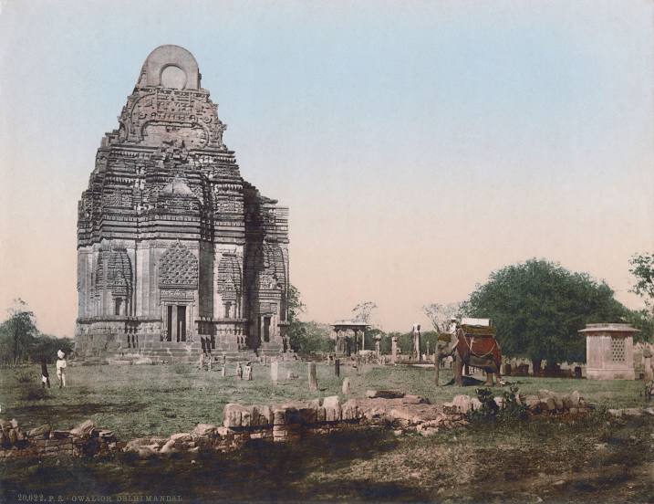
Teli Ka Mandir — local attraction, which is located at Fort Campus, Near Schiendhi School Gwalior Fort, Madhya Pradesh 474001, India and belongs to the category — hindu temple. Average visitor rating for this place — 4.3 (according to 676 ratings, information from open sources and relevant for 2022).
Exact location — Teli Ka Mandir, marked on the map with a red marker.
You can get directions to Teli Ka Mandir on the map from your location.
What else is interesting in Gwalior? You can see all the sights if you go to the city page.
Coordinates
Teli Ka Mandir, India coordinates in decimal format: latitude — 26.277478150863733, longitude — 78.17952483916687. When converted to degrees, minutes, seconds Teli Ka Mandir has the following coordinates: 26°16′38.92 north latitude and 78°10′46.29 east longitude.
Nearby cities
The largest cities that are located nearby:
- Morena — 36 km
- Jhansi — 93 km
- Firozabad — 106 km
- Agra — 107 km
- Bharatpur — 130 km
- Mathura — 149 km
- Lalitpur — 171 km
- Guna — 194 km
- Alwar — 212 km
- Kanpur — 214 km
- Banda — 230 km
- Jaipur — 248 km
- Shahjahanpur — 250 km
- Faridabad — 256 km
- Kota — 257 km
- Fatehpur — 263 km
- Rewari — 266 km
- Bareilly — 267 km
- Noida — 267 km
Distance to the capital
Distance to the capital (New Delhi) is about — 277 km.