

Chhatrapati Shivaji Maharaj Vastu Sangrahalaya on the map, Mumbai, India
Photo
Where is located Chhatrapati Shivaji Maharaj Vastu Sangrahalaya
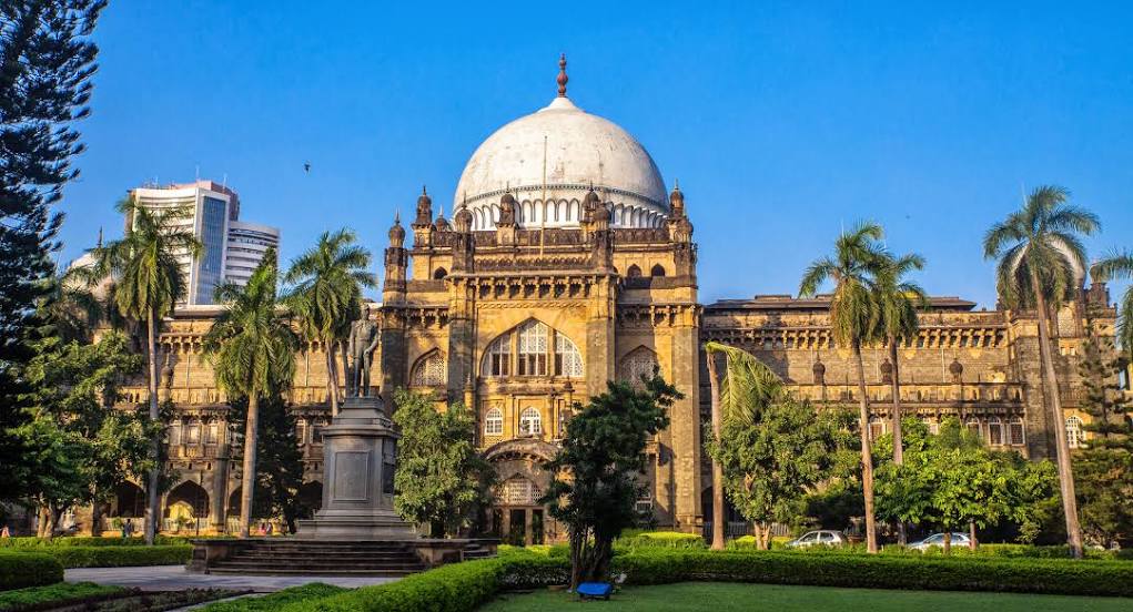
Chhatrapati Shivaji Maharaj Vastu Sangrahalaya — local attraction, which is located at 159-161, Mahatma Gandhi Road, Kala Ghoda, Fort, Mumbai, Maharashtra 400023, India and belongs to the category — -. Average visitor rating for this place — 4.5 (according to 25791 rating, information from open sources and relevant for 2022).
Exact location — Chhatrapati Shivaji Maharaj Vastu Sangrahalaya, marked on the map with a red marker.
You can get directions to Chhatrapati Shivaji Maharaj Vastu Sangrahalaya on the map from your location.
What else is interesting in Mumbai? You can see all the sights if you go to the city page.
Coordinates
Chhatrapati Shivaji Maharaj Vastu Sangrahalaya, India coordinates in decimal format: latitude — 18.926855817739717, longitude — 72.83262722444827. When converted to degrees, minutes, seconds Chhatrapati Shivaji Maharaj Vastu Sangrahalaya has the following coordinates: 18°55′36.68 north latitude and 72°49′57.46 east longitude.
Nearby cities
The largest cities that are located nearby:
- Navi Mumbai — 17 km
- Thane — 19 km
- Ulhasnagar — 34 km
- Virar — 44 km
- Pune — 120 km
- Nashik — 139 km
- Ahmednagar — 196 km
- Surat — 232 km
- Aurangabad — 271 km
- Bharuch — 291 km
- Kolhapur — 301 km
- Sangli — 305 km
- Bhavnagar — 306 km
- Jalna — 323 km
- Solapur — 355 km
- Vadodara — 359 km
- Junagadh — 368 km
- Gondal — 384 km
- Anand — 385 km
Distance to the capital
Distance to the capital (New Delhi) is about — 1166 km.